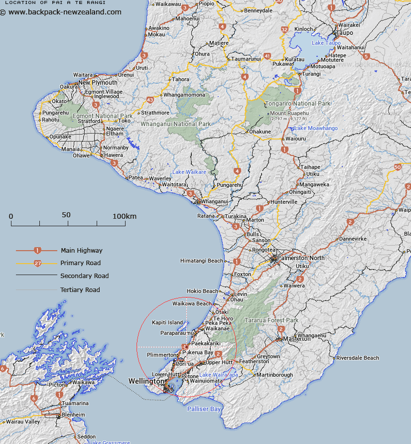
Map showing location of Pai-a-te-Rangi
LINZ description: Located along the northern boundary of Paekākāriki Hill locality, height 274m. NZTopo50 BP32-Paraparaumu GR 628 587. Geodetic mark, coded A2FP, named “Paekakariki”, beaconed, is located at the summit. Assigning a new name for an unnamed feature.
Latitude: -41.006691
Longitude: 174.935971
Northing: 5458695
Easting: 1762806
Land District: Wellington
Feat Type: Hill
Latitude: -41.006691
Longitude: 174.935971
Northing: 5458695
Easting: 1762806
Land District: Wellington
Feat Type: Hill

Scroll down to see a more detailed road map and below that a topographical map showing the location of Pai-a-te-Rangi. The road map has been supplied by openstreetmap and the topographical map of Pai-a-te-Rangi has been supplied by Land Information New Zealand (LINZ).
Yes you can use the top static map for you school/university project or personal website with a link back. Contact me for any commercial use.
[ A ] [ B ] [ C ] [ D ] [ E ] [ F ] [ G ] [ H ] [ I ] [ J ] [ K ] [ L ] [ M ] [ N ] [ O ] [ P ] [ Q ] [ R ] [ S ] [ T ] [ U ] [ V ] [ W ] [ X ] [ Y ] [ Z ]