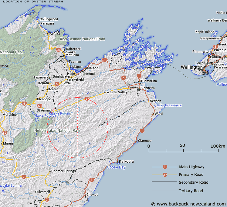
Map showing location of Oyster Stream


LINZ description: Left bank tributary of Saxton River rising North of Saxton Peak (Geodetic Code A44K), flowing South-eastward and joining Saxton River 3.2km upstream of Team Stream. Blocks IX and XIV, Molesworth Survey District.
Latitude: -41.994346
Longitude: 173.180393
Northing: 5350835.7
Easting: 1614941.1
Land District: Marlborough
Feat Type: Stream


Scroll down to see a more detailed road map and below that a topographical map showing the location of Oyster Stream. The road map has been supplied by openstreetmap and the topographical map of Oyster Stream has been supplied by Land Information New Zealand (LINZ).

Yes you can use the top static map for you school/university project or personal website with a link back. Contact me for any commercial use.

Oyster Stream Map New Zealand


New Zealand places in our database
[ A ] [ B ] [ C ] [ D ] [ E ] [ F ] [ G ] [ H ] [ I ] [ J ] [ K ] [ L ] [ M ] [ N ] [ O ] [ P ] [ Q ] [ R ] [ S ] [ T ] [ U ] [ V ] [ W ] [ X ] [ Y ] [ Z ]


Closest 20 Streams to Oyster Stream

Team Stream ( 3.18km )   Cat Stream ( 6.59km )   Saxton River ( 6.87km )   Waihopai Saddle Stream ( 7.84km )   Wildsheep Stream ( 7.87km )   Gordon Stream ( 7.88km )   Flat Stream ( 8.29km )   Hot Rock Stream ( 8.32km )   Orr Stream ( 8.66km )   Acheron River ( 8.91km )   Munroe Stream ( 9.07km )   Molesworth Stream ( 9.22km )   Hut Stream ( 10.04km )   Awatere-iti Stream ( 11.3km )   Spaniard Stream ( 11.69km )   Leatham River ( 12.14km )   Smokey Stream ( 12.67km )   Cow Stream ( 13.76km )   Barber Stream ( 14.08km )   Kennet River ( 14.53km )   Little Misery Stream ( 15.27km )   Hand Setting Stream ( 15.31km )   Bobs Stream ( 15.55km )   Yeo Stream ( 15.55km )   Dane River ( 15.79km )   Misery Stream ( 15.95km )   Weka Brook ( 16.08km )   Waterfall Stream ( 16.15km )   Awatere River ( 16.2km )   Robinson Creek ( 16.54km )   Weka Stream ( 16.59km )   Siberia Stream ( 16.88km )   Blue Mountain Stream ( 16.91km )   Branch River ( 17.02km )   Little Siberia Stream ( 17.28km )   Severn River ( 17.41km )   Greig Stream ( 17.68km )   Lost Stream ( 17.7km )   Dog Stream ( 18.08km )   Little Cave Stream ( 18.78km )