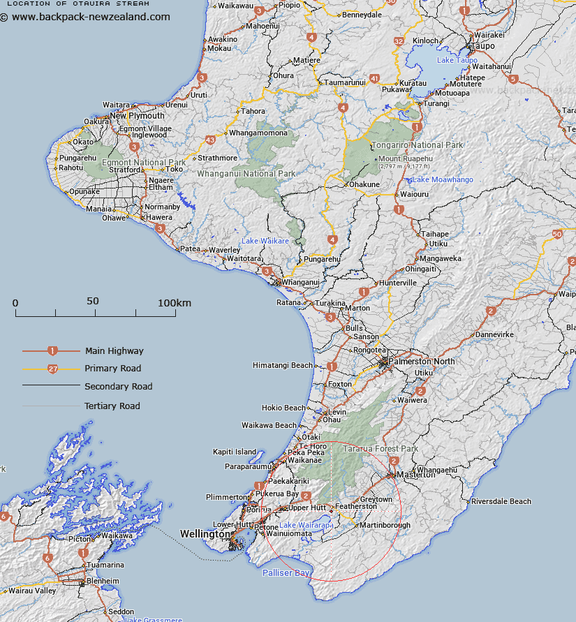
Map showing location of Otauira Stream


LINZ description: Downstream continuation of Abbots Stream, becoming Otauira Stream at the bottom of the foothills of the Rimutaka Range, flowing South-westward and entering Lake Wairarapa 800m East of Trig. Lucena (Geodetic Code 8402). Block II, Wairarapa Survey District
Latitude: -41.140991
Longitude: 175.318732
Northing: 5443000
Easting: 1794600
Land District: Wellington
Feat Type: Stream


Scroll down to see a more detailed road map and below that a topographical map showing the location of Otauira Stream. The road map has been supplied by openstreetmap and the topographical map of Otauira Stream has been supplied by Land Information New Zealand (LINZ).

Yes you can use the top static map for you school/university project or personal website with a link back. Contact me for any commercial use.

Otauira Stream Map New Zealand


New Zealand places in our database
[ A ] [ B ] [ C ] [ D ] [ E ] [ F ] [ G ] [ H ] [ I ] [ J ] [ K ] [ L ] [ M ] [ N ] [ O ] [ P ] [ Q ] [ R ] [ S ] [ T ] [ U ] [ V ] [ W ] [ X ] [ Y ] [ Z ]


Closest 20 Streams to Otauira Stream

Boar Creek ( 4.47km )   Prince Stream ( 4.56km )   Owhanga Stream ( 5.24km )   Abbots Creek ( 5.77km )   Stonestead Creek ( 6.92km )   Tauherenikau River ( 8.48km )   Tauwharenikau River ( 8.48km )   Cross Creek ( 9.03km )   Te Maire Stream ( 9.04km )   Otukura Stream ( 9.15km )   Smith Creek ( 9.55km )   Hikinui Stream ( 9.64km )   Hikunui Stream ( 9.64km )   Mangatete Stream ( 9.66km )   Rimutaka Stream ( 10.29km )   Remutaka Stream ( 10.29km )   Shepperds Stream ( 10.48km )   Fell Creek ( 10.79km )   Canyon Creek ( 10.98km )   Wiersma Stream ( 11.01km )   Bates Stream ( 11.28km )   Puffer Creek ( 11.62km )   Marchant Stream ( 11.76km )   Farm Creek ( 11.76km )   Taits Stream ( 11.85km )   Fan Stream ( 11.93km )   Phillips Stream ( 12.5km )   Rodgers Stream ( 12.53km )   Climie Creek ( 12.62km )   Boulder Stream ( 13.04km )   Dry River ( 13.19km )   Slip Stream ( 13.56km )   Blue Rock Stream ( 13.57km )   Bocketts Stream ( 13.67km )   Papawai Stream ( 14.06km )   Mangaroa Creek ( 14.14km )   Kaitoke Stream ( 14.14km )   Redington Stream ( 14.15km )   Tutuwai Stream ( 14.37km )   Whakawiriwiri Stream ( 14.47km )