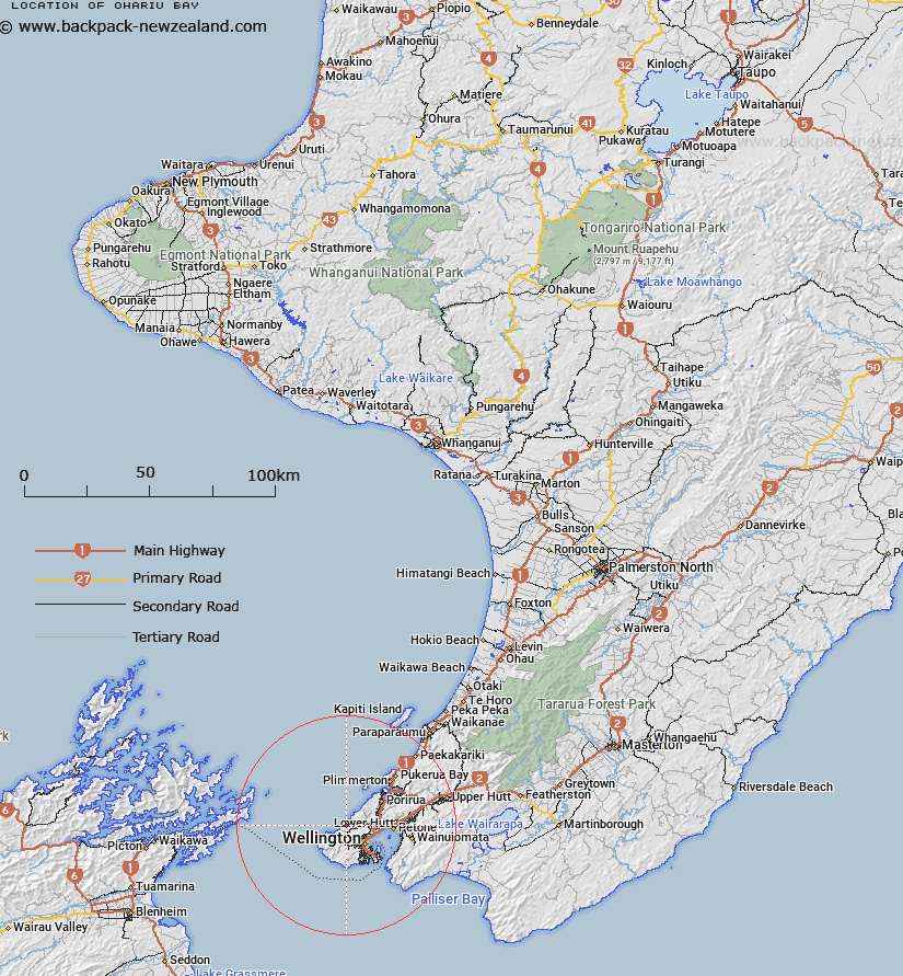
Map showing location of Ohariu Bay


LINZ description: Bay facing Cook Strait between Warehou Bay and Smiths Bay, in which is situated Makara Beach locality. Port Nicholson Survey District.
Latitude: -41.217546
Longitude: 174.712282
Northing: 5435679.4
Easting: 1743533.9
Land District: Wellington
Feat Type: Bay


Scroll down to see a more detailed road map and below that a topographical map showing the location of Ohariu Bay. The road map has been supplied by openstreetmap and the topographical map of Ohariu Bay has been supplied by Land Information New Zealand (LINZ).

Yes you can use the top static map for you school/university project or personal website with a link back. Contact me for any commercial use.

Ohariu Bay Map New Zealand


New Zealand places in our database
[ A ] [ B ] [ C ] [ D ] [ E ] [ F ] [ G ] [ H ] [ I ] [ J ] [ K ] [ L ] [ M ] [ N ] [ O ] [ P ] [ Q ] [ R ] [ S ] [ T ] [ U ] [ V ] [ W ] [ X ] [ Y ] [ Z ]


Closest 20 Bays to Ohariu Bay

Smiths Bay ( 0.59km )   Wharehou Bay ( 0.63km )   Opau Bay ( 3.04km )   Te Ikaamaru Bay ( 5.08km )   Te Kaminaru Bay ( 5.08km )   Ohau Bay ( 5.91km )   Lambton Harbour ( 9.55km )   Oriental Bay ( 10.34km )   Little Karaka Bay ( 11.17km )   Oterango Bay ( 11.32km )   Oteranga Bay ( 11.32km )   Balaena Bay ( 11.33km )   Weka Bay ( 11.57km )   Kio Bay ( 11.83km )   Wellington Harbour (Port Nicholson) ( 11.94km )   Shelly Bay ( 12.25km )   Kau Bay ( 12.44km )   Evans Bay ( 12.66km )   Shark Bay ( 12.87km )   Open Bay ( 13.03km )   Mahanga Bay ( 13.1km )   Cave Bay ( 13.56km )   Scorching Bay ( 13.59km )   Karaka Bay ( 13.86km )   Tirau Bay ( 14.38km )   Worser Bay ( 14.55km )   Lyall Bay ( 14.59km )   Owhiro Bay ( 14.73km )   Ohiro Bay ( 14.73km )   Island Bay ( 15.14km )   Waitaha Cove ( 15.32km )   Houghton Bay ( 15.34km )   Princess Bay ( 15.49km )   Titahi Bay ( 15.79km )   Eve Bay ( 16.14km )   Breaker Bay ( 16.23km )   Flax Bay ( 16.25km )   Reef Bay ( 16.42km )   Rocky Bay ( 16.46km )   Palmer Bay ( 16.6km )