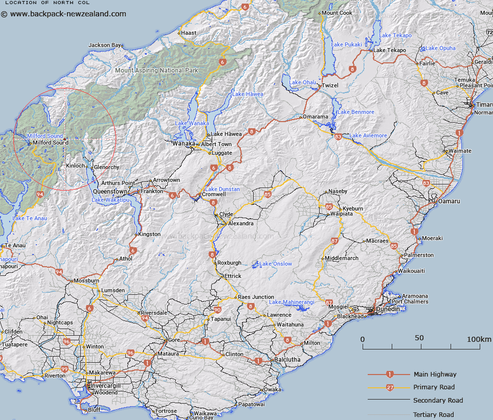
Map showing location of North Col


LINZ description: Col at the head of the North Routeburn west of Nereus Peak at the apex of the Humbolt Mountains and the Serpentine Range.
Latitude: -44.643193
Longitude: 168.185624
Northing: 5045400
Easting: 1218200
Land District: Otago
Feat Type: Pass


Scroll down to see a more detailed road map and below that a topographical map showing the location of North Col. The road map has been supplied by openstreetmap and the topographical map of North Col has been supplied by Land Information New Zealand (LINZ).

Yes you can use the top static map for you school/university project or personal website with a link back. Contact me for any commercial use.

North Col Map New Zealand


New Zealand places in our database
[ A ] [ B ] [ C ] [ D ] [ E ] [ F ] [ G ] [ H ] [ I ] [ J ] [ K ] [ L ] [ M ] [ N ] [ O ] [ P ] [ Q ] [ R ] [ S ] [ T ] [ U ] [ V ] [ W ] [ X ] [ Y ] [ Z ]


Closest 20 Passs to North Col

North Col ( 0km )   Serpentine Saddle ( 2km )   Park Pass ( 5.12km )   Little Homer Saddle ( 6.97km )   Sugarloaf Pass ( 8.57km )   Cow Saddle ( 10.16km )   Emily Pass ( 11.01km )   Crampon Pass ( 11.47km )   Fiery Col ( 11.78km )   Valpys Pass ( 12.16km )   Turner Pass ( 12.71km )   Pakihaukea Pass ( 13.02km )   Alabaster Pass ( 14.13km )   Fohn Saddle ( 14.33km )   Darran Pass ( 14.82km )   Adelaide Saddle ( 16.08km )   Gertrude Saddle ( 17.64km )   Ngapunatoru Pass ( 17.84km )   Wright Pass ( 18.07km )   Shepherds Pass ( 18.16km )   Luncheon Col ( 18.39km )   Traverse Pass ( 19.12km )   Lennox Pass ( 19.13km )   Grave-Talbot Pass ( 19.45km )   O'Leary Pass ( 20.04km )   Glacier Col ( 20.48km )   Lyttles Dip ( 20.49km )   Bowen Col ( 20.77km )   Homer Saddle ( 20.78km )   Homer's Saddle ( 20.78km )   Greenstone Saddle ( 20.82km )   The Divide ( 20.94km )   Possibility Col ( 20.99km )   Desperation Pass ( 21.76km )   Seal Col ( 22.28km )   Four Brothers Pass ( 22.75km )   McKellar Saddle ( 23.25km )   False Col ( 23.5km )   Pyramid Col ( 24.25km )   Climax Col ( 24.42km )