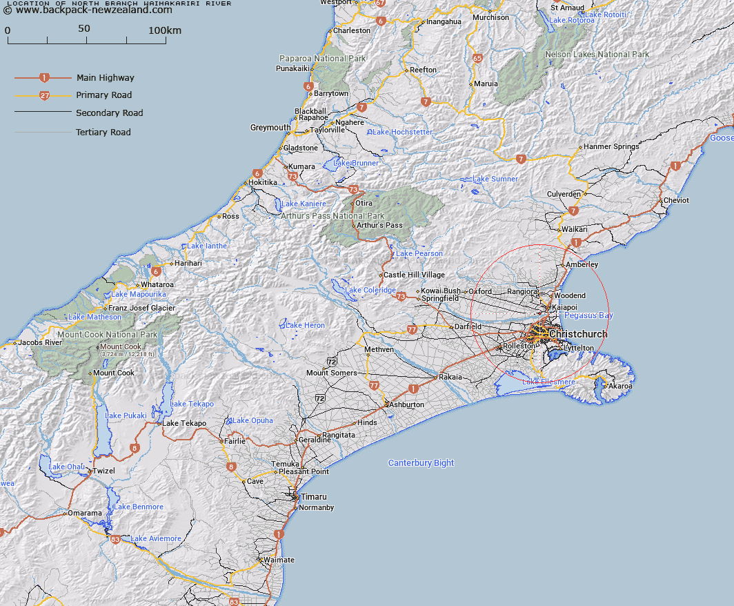
Map showing location of North Branch Waimakariri River


LINZ description: Tributary of the Waimakariri River flowing south-easterly through the Borough of Kaiapoi
Latitude: -43.413799
Longitude: 172.603504
Northing: 5193155.5
Easting: 1567900
Land District: Canterbury
Feat Type: Stream


Scroll down to see a more detailed road map and below that a topographical map showing the location of North Branch Waimakariri River. The road map has been supplied by openstreetmap and the topographical map of North Branch Waimakariri River has been supplied by Land Information New Zealand (LINZ).

Yes you can use the top static map for you school/university project or personal website with a link back. Contact me for any commercial use.

North Branch Waimakariri River Map New Zealand


New Zealand places in our database
[ A ] [ B ] [ C ] [ D ] [ E ] [ F ] [ G ] [ H ] [ I ] [ J ] [ K ] [ L ] [ M ] [ N ] [ O ] [ P ] [ Q ] [ R ] [ S ] [ T ] [ U ] [ V ] [ W ] [ X ] [ Y ] [ Z ]


Closest 20 Streams to North Branch Waimakariri River

Eyre Main Drain ( 2.13km )   Kaikainui Stream ( 3.32km )   Otukaikino Creek ( 3.39km )   Ohoka Stream ( 4.42km )   Courtenay Stream ( 5.39km )   Kaputone Creek ( 5.81km )   Old Bed Eyre River ( 6.15km )   Eyre River Diversion ( 7.52km )   Styx River ( 7.7km )   Kairaki Creek ( 8.46km )   Cam River ( 9.2km )   Cam River/Ruataniwha ( 9.2km )   South Brook ( 9.75km )   Dudley Creek ( 10.36km )   Wai-iti Stream ( 10.42km )   Wairarapa Stream ( 10.61km )   Shirley Stream ( 10.97km )   North Brook ( 11.25km )   Waimairi Stream ( 11.5km )   Okeover Stream ( 12.09km )   Ilam Stream ( 12.36km )   Waikuku Stream ( 14.29km )   Hunters Stream ( 16km )   Avon River/?takaro ( 16.35km )   Avon River ( 16.35km )   Dockeys Stream ( 16.68km )   Heathcote River ( 17.02km )   Woolston Loop ( 17.03km )   Saltwater Creek ( 17.71km )   Nottingham Stream ( 17.98km )   Estuary of the Heathcote and Avon Rivers ( 18km )   Estuary of the Heathcote and Avon Rivers/Ihutai ( 18km )   Cashmere Stream ( 18.5km )   Knights Stream ( 20.03km )   Stony Creek ( 20.04km )   Shaw Creek ( 20.82km )   Dawson Creek ( 21.63km )   Foxs Creek ( 22.68km )   Bushy Creek ( 24.38km )   Watsons Creek ( 25.59km )