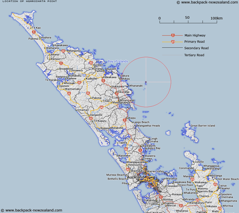
Map showing location of Ngaroimata Point


LINZ description: Feature shown on: NZMS260 R07 R06 S07 Edition 1 1989
Latitude: -35.450056
Longitude: 174.743167
Northing: 6075649.6
Easting: 1758199
Land District: North Auckland
Feat Type: Point


Scroll down to see a more detailed road map and below that a topographical map showing the location of Ngaroimata Point. The road map has been supplied by openstreetmap and the topographical map of Ngaroimata Point has been supplied by Land Information New Zealand (LINZ).

Yes you can use the top static map for you school/university project or personal website with a link back. Contact me for any commercial use.
Ngaroimata Point Map New Zealand


New Zealand places in our database
[ A ] [ B ] [ C ] [ D ] [ E ] [ F ] [ G ] [ H ] [ I ] [ J ] [ K ] [ L ] [ M ] [ N ] [ O ] [ P ] [ Q ] [ R ] [ S ] [ T ] [ U ] [ V ] [ W ] [ X ] [ Y ] [ Z ]


Closest 20 Points to Ngaroimata Point

Haku Point ( 0.25km )   Te Paki Point ( 0.92km )   Tower Point ( 1km )   Te Araara Point ( 1.11km )   Hope Point ( 1.14km )   Puketuaho ( 1.2km )   Maratea Point ( 1.26km )   Hoiho Point ( 2.08km )   Urupa Point ( 2.75km )   Maroro Point ( 2.93km )   Arid Point ( 3km )   Ramariki Point ( 3.68km )   Kahawai Point ( 3.97km )   Pinakitanga Point ( 4.12km )   Rangitapu Point ( 24.01km )   North Gable ( 24.03km )   Rokoaweke Point ( 24.09km )   Middle Gable ( 24.61km )   Otara Point ( 24.92km )   Andesite Point ( 25.17km )   Motutara Point ( 25.25km )   Tutukaka Head (South Gable) ( 25.4km )   Kaone Point ( 26.16km )   Roimata Point ( 26.39km )   Kohinatupou Point ( 26.39km )   Kohinutopu Point ( 26.39km )   Pitokuku Point ( 26.92km )   Tauranga Kawau Point ( 27.05km )   Whau Point ( 27.51km )   Taukawau Point ( 28.14km )   Pa Point ( 29.97km )   Kumi Point ( 30.9km )   Paparahi Point ( 31.54km )   Otara Point ( 33.53km )   Taiharuru Head ( 33.6km )   Cape Home ( 34.18km )   Ngamatengau Point ( 34.3km )   Pararaunui Point ( 34.56km )   Kouru Point ( 34.7km )   Moturoa Point ( 35.02km )