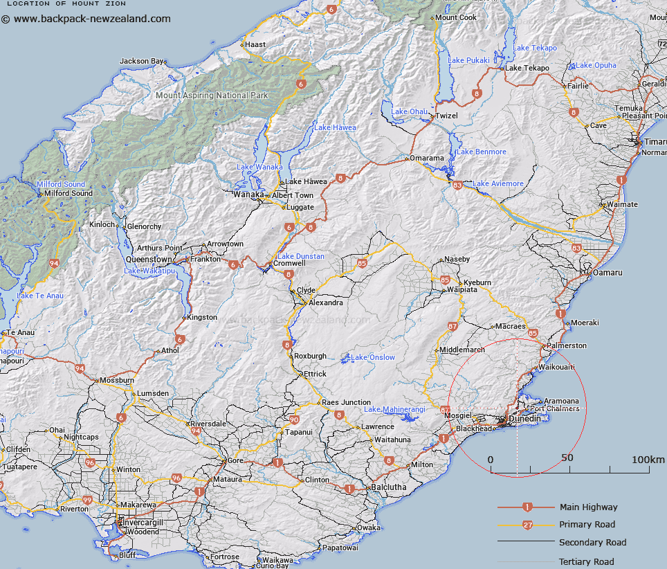
Map showing location of Mount Zion


LINZ description: Small but prominent peak at the north east end of the Cargill summit ridge, north of Dunedin City, adjacent to Mount Cargill Road.
Latitude: -45.810817
Longitude: 170.56999
Northing: 4924100
Easting: 1411200
Land District: Otago
Feat Type: Hill


Scroll down to see a more detailed road map and below that a topographical map showing the location of Mount Zion. The road map has been supplied by openstreetmap and the topographical map of Mount Zion has been supplied by Land Information New Zealand (LINZ).

Yes you can use the top static map for you school/university project or personal website with a link back. Contact me for any commercial use.

Mount Zion Map New Zealand


New Zealand places in our database
[ A ] [ B ] [ C ] [ D ] [ E ] [ F ] [ G ] [ H ] [ I ] [ J ] [ K ] [ L ] [ M ] [ N ] [ O ] [ P ] [ Q ] [ R ] [ S ] [ T ] [ U ] [ V ] [ W ] [ X ] [ Y ] [ Z ]


Closest 20 Hills to Mount Zion

Mount Holmes ( 0.28km )   Buttars Peak ( 0.67km )   Butters Peak ( 0.67km )   Mount Cargill ( 1.21km )   Mount Cutten ( 2km )   Pigeon Hill ( 2.17km )   Martins Hill ( 2.32km )   Mount Martin ( 2.41km )   Wetherston Hill ( 2.85km )   Mount Kettle ( 2.96km )   McGregors Hill ( 3.47km )   Mihiwaka ( 3.73km )   Signal Hill ( 4.43km )   Mopanui ( 5.47km )   Hare Hill ( 6.08km )   Hodson Hill ( 7.19km )   Clump Peak ( 7.24km )   Swampy Summit ( 7.41km )   Double Hill ( 7.48km )   Harbour Cone ( 7.64km )   Hightop ( 7.76km )   Dicksons Hill ( 7.88km )   Peggys Hill ( 8.33km )   Clarks Hill ( 8.38km )   Flagstaff ( 8.39km )   Patrons Hill ( 8.45km )   Stone Hill ( 8.47km )   Alexanders Hill ( 8.84km )   Highcliff Hill ( 8.85km )   Sheppards Hill ( 8.98km )   Nicols Hill ( 9.01km )   Nicolls Hill ( 9.01km )   McCartney Hill ( 9.15km )   McArthny Hill ( 9.15km )   Dicks Hill ( 9.21km )   Varleys Hill ( 9.54km )   Gearys Hill ( 10.39km )   Green Hill ( 10.66km )   Scotts Hill ( 11.34km )   Taiaroa Hill ( 11.59km )