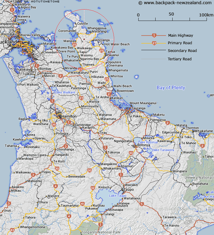
Map showing location of Motutohetohe
LINZ description: Pinnacle shaped hill at headwaters area of Opitonui River, 2.8km South-east of Castle Rock [Trig. Castle Rock No 2 (Geodetic Code A6KM). Block XI Coromandel Survey District.
Latitude: -36.821601
Longitude: 175.584407
Northing: 5921800.8
Easting: 1830508.7
Land District: South Auckland
Feat Type: Hill
Latitude: -36.821601
Longitude: 175.584407
Northing: 5921800.8
Easting: 1830508.7
Land District: South Auckland
Feat Type: Hill

Scroll down to see a more detailed road map and below that a topographical map showing the location of Motutohetohe. The road map has been supplied by openstreetmap and the topographical map of Motutohetohe has been supplied by Land Information New Zealand (LINZ).
Yes you can use the top static map for you school/university project or personal website with a link back. Contact me for any commercial use.
[ A ] [ B ] [ C ] [ D ] [ E ] [ F ] [ G ] [ H ] [ I ] [ J ] [ K ] [ L ] [ M ] [ N ] [ O ] [ P ] [ Q ] [ R ] [ S ] [ T ] [ U ] [ V ] [ W ] [ X ] [ Y ] [ Z ]