Map showing location of Motutara Island


LINZ description: In Raglan Harbour, north of Okete Bay.
Latitude: -37.802375
Longitude: 174.915054
Northing: 5814384.2
Easting: 1768594.7
Land District: South Auckland
Feat Type: Island
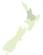

Scroll down to see a more detailed road map and below that a topographical map showing the location of Motutara Island. The road map has been supplied by openstreetmap and the topographical map of Motutara Island has been supplied by Land Information New Zealand (LINZ).

Yes you can use the top static map for you school/university project or personal website with a link back. Contact me for any commercial use.
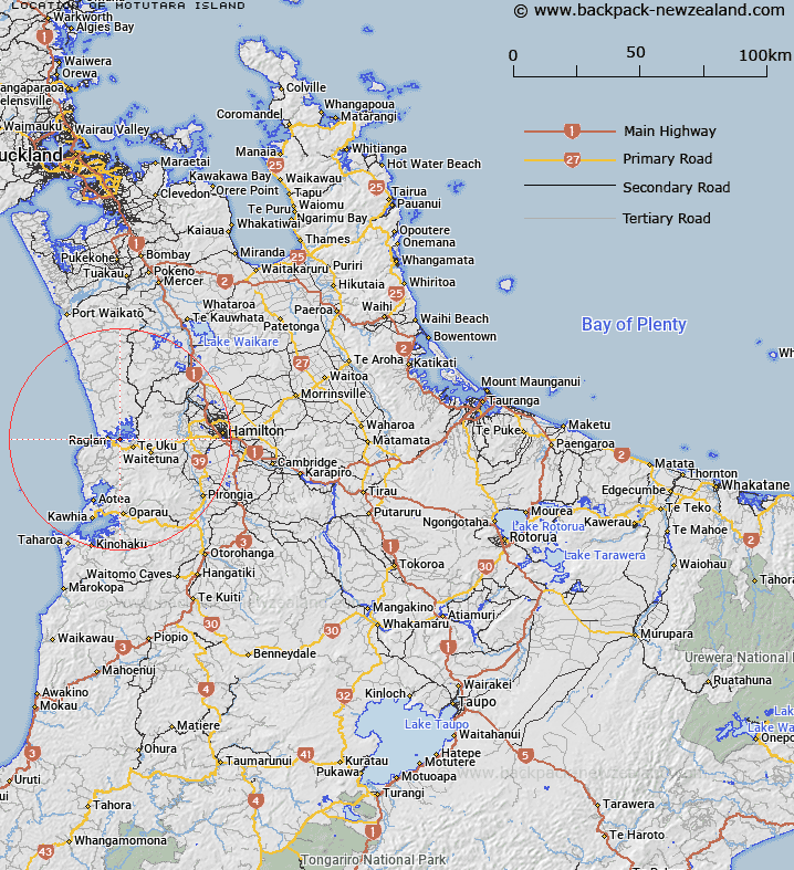
Motutara Island Map New Zealand


New Zealand places in our database
[ A ] [ B ] [ C ] [ D ] [ E ] [ F ] [ G ] [ H ] [ I ] [ J ] [ K ] [ L ] [ M ] [ N ] [ O ] [ P ] [ Q ] [ R ] [ S ] [ T ] [ U ] [ V ] [ W ] [ X ] [ Y ] [ Z ]


Closest 20 Islands to Motutara Island

Whatitirinui Island ( 4.32km )   Watatounui Island ( 4.32km )   Te Teko Island ( 4.65km )   Karetoto Island ( 16.92km )   Motukotuku Rocks ( 19.49km )   Motutere Island ( 21.64km )   Kaiwhai Island ( 28.19km )   Ngatokakairiri Island ( 28.26km )   Te Rarangi Rocks ( 29.75km )   Motukahu Rocks ( 30.75km )   O Wiwi Ku ( 32.39km )   Meurant Island ( 32.39km )   Graham Island ( 32.97km )   Motukaraka Island ( 33.25km )   Kapiapia Rock ( 33.51km )   Opeope Rocks ( 33.94km )   Purimu Rocks ( 33.95km )   Tokapiko Rocks ( 34.2km )   Tuapu Island ( 34.64km )   Te Motu Island ( 34.79km )   Gannet Island (Karewa) ( 36km )   Karewa/Gannet Island ( 36km )   Motakorea Island ( 38.85km )   Motukauere Island ( 39.32km )   Tarahanga Island ( 44.99km )   Manutahi Island ( 45.21km )   Motunuia Island ( 45.79km )   Punikanae Rock ( 48.29km )   Karihoa Island ( 48.45km )   Te Kopura Island ( 50.67km )   Motunau Rocks ( 51.03km )   Ngahinapouri Island ( 53.77km )   Tawanui Island ( 54km )   Motukakaho Island ( 54.02km )   Puehunui Island ( 54.95km )   Motutieke Island ( 55.44km )   Kaiwaka No. 1 Island ( 55.5km )   Pakepake Island ( 55.92km )   Opuawhanga Island ( 56.18km )   Namuheiriro Island ( 57.23km )