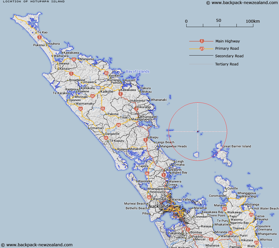
Map showing location of Motupapa Island


LINZ description: Small island in Mokohinau Group to west of Edith Passage
Latitude: -35.907796
Longitude: 175.103873
Northing: 6024233.5
Easting: 1789851
Land District: North Auckland
Feat Type: Island


Scroll down to see a more detailed road map and below that a topographical map showing the location of Motupapa Island. The road map has been supplied by openstreetmap and the topographical map of Motupapa Island has been supplied by Land Information New Zealand (LINZ).

Yes you can use the top static map for you school/university project or personal website with a link back. Contact me for any commercial use.

Motupapa Island Map New Zealand


New Zealand places in our database
[ A ] [ B ] [ C ] [ D ] [ E ] [ F ] [ G ] [ H ] [ I ] [ J ] [ K ] [ L ] [ M ] [ N ] [ O ] [ P ] [ Q ] [ R ] [ S ] [ T ] [ U ] [ V ] [ W ] [ X ] [ Y ] [ Z ]


Closest 20 Islands to Motupapa Island

Hokoromea Island ( 0.38km )   Flax Islands ( 0.49km )   Atihau Island ( 0.7km )   Bird Rock ( 0.79km )   Burgess Island (Pokohinu) ( 0.91km )   Lizard Isle ( 1.06km )   Sphinx Rocks ( 1.1km )   Mokohinau Islands ( 2.34km )   Groper Island (Tatapihi) ( 4.41km )   Fanal Island (Motukino) ( 5.26km )   Navire Rock ( 6.11km )   Simpson Rock ( 11.21km )   The Queen ( 29.25km )   Sugarloaf ( 29.75km )   Lots Wife ( 29.88km )   Coppermine Island ( 29.96km )   Aiguilles Island ( 30.71km )   Mihi Rock ( 30.91km )   Bird Rocks ( 31.5km )   Whatupuke Island ( 31.5km )   Okokewa Island (Green Island) ( 31.9km )   Lion Rock ( 32.34km )   Rabbit Island ( 32.63km )   Marotiri Islands ( 32.74km )   Marotere Islands ( 32.74km )   Oyster Island ( 32.79km )   Hauturu/Little Barrier Island ( 32.81km )   Te Hauturu-o-Toi / Little Barrier Island ( 32.81km )   Little Barrier (Hauturu Island) ( 32.81km )   Motuhaku Island ( 33.07km )   Nelson Island (Peter Island) ( 33.63km )   Hen and Chickens Islands ( 33.97km )   Wood Island ( 34.14km )   Lady Alice Island ( 34.17km )   Taranga Island ( 34.79km )   Moturako Island ( 34.84km )   Great Barrier Island (Aotea Island) ( 35.08km )   Kaikoura Island (Selwyn Island) ( 35.31km )   Grey Group Islands ( 35.77km )   Pupuha Island ( 36.29km )