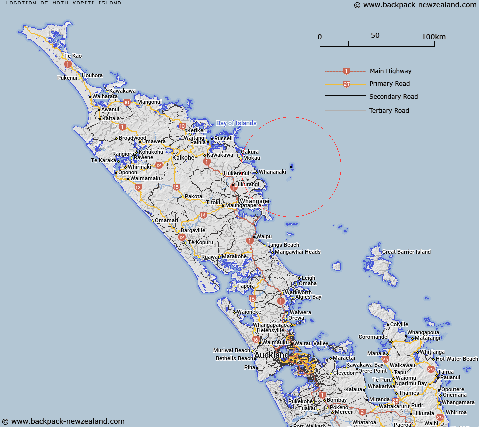
Map showing location of Motu Kapiti Island


LINZ description: Most prominent of the five stacks which lie between Aorangi and Tawhiti Rahi Islands, 200m due West of the southern headland of Tawhiti Rahi Island.
Latitude: -35.469808
Longitude: 174.732937
Northing: 6073475
Easting: 1757232.2
Land District: North Auckland
Feat Type: Island


Scroll down to see a more detailed road map and below that a topographical map showing the location of Motu Kapiti Island. The road map has been supplied by openstreetmap and the topographical map of Motu Kapiti Island has been supplied by Land Information New Zealand (LINZ).

Yes you can use the top static map for you school/university project or personal website with a link back. Contact me for any commercial use.

Motu Kapiti Island Map New Zealand


New Zealand places in our database
[ A ] [ B ] [ C ] [ D ] [ E ] [ F ] [ G ] [ H ] [ I ] [ J ] [ K ] [ L ] [ M ] [ N ] [ O ] [ P ] [ Q ] [ R ] [ S ] [ T ] [ U ] [ V ] [ W ] [ X ] [ Y ] [ Z ]


Closest 20 Islands to Motu Kapiti Island

Bird Rock ( 0.03km )   Kaka Rock ( 0.46km )   Poor Knights Islands ( 0.67km )   Aorangi Island ( 1.21km )   Tawhiti Rahi Island ( 1.87km )   Aorangaia Island ( 2.18km )   Ngoio Rock ( 2.23km )   Archway Island ( 2.4km )   High Peak Rocks ( 8.67km )   Sugarloaf Rock ( 11.06km )   Kukutauwhao Island ( 23.13km )   Motutohe Island ( 23.92km )   Rahomaunu Island ( 24.05km )   Philip Island ( 24.29km )   Four Islets ( 24.97km )   Titi Island ( 25.08km )   Motutara Island ( 26.25km )   Motuwhariki Island ( 26.31km )   Otawhanga Island ( 26.34km )   Wide Berth Islands ( 26.44km )   Rimariki Island ( 26.87km )   Te Ruatahi Islet ( 27.24km )   Komakoraia Island ( 27.66km )   Okupe Island ( 27.69km )   Kuihi Island ( 28.31km )   Goat Island ( 28.51km )   Ngataurua Rock ( 28.64km )   Glucina Rock ( 31.28km )   Otarawa island ( 31.35km )   Arakaninihi Island ( 31.39km )   Ipurau Island ( 31.66km )   Moturewa Island ( 31.75km )   Motutaniwha Island ( 31.91km )   Motungangara Island ( 32.01km )   Reparapahoe Island ( 32.05km )   Pataua Island ( 32.53km )   Moturoa Island ( 33.21km )   Danger Rock ( 33.76km )   Okaoko Rock ( 33.98km )   Motutara Island (Henry Island) ( 34.05km )