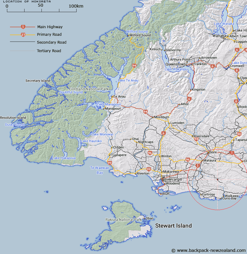
Map showing location of Mokoreta


LINZ description: Geodetic code 1037 at 713m height east of the Mataura River and west of the Wisp Range.
Latitude: -46.422981
Longitude: 169.057899
Northing: 4851400
Easting: 1297100
Land District: Southland
Feat Type: Trig Station


Scroll down to see a more detailed road map and below that a topographical map showing the location of Mokoreta. The road map has been supplied by openstreetmap and the topographical map of Mokoreta has been supplied by Land Information New Zealand (LINZ).

Yes you can use the top static map for you school/university project or personal website with a link back. Contact me for any commercial use.

Mokoreta Map New Zealand


New Zealand places in our database
[ A ] [ B ] [ C ] [ D ] [ E ] [ F ] [ G ] [ H ] [ I ] [ J ] [ K ] [ L ] [ M ] [ N ] [ O ] [ P ] [ Q ] [ R ] [ S ] [ T ] [ U ] [ V ] [ W ] [ X ] [ Y ] [ Z ]


Closest 20 Trig Stations to Mokoreta

Mataura ( 20.78km )   Toetoes ( 23.76km )   Fortrose ( 26.26km )   Kelvin Peak ( 45.65km )   Glenomaru ( 47.44km )   Forest Hill ( 55.38km )   Waiparu ( 71.52km )   Gowan Hill ( 95.73km )   Hyde Rock ( 115.58km )   North Taieri ( 118.5km )   McArthny ( 141.52km )   Waikouaiti ( 154.11km )   Waihemo ( 168.91km )   Obi ( 176.53km )   Moeraki ( 180.87km )   Jeffrey ( 186.96km )   Kauroo Hill ( 195.61km )   Kauru Hill ( 195.61km )   Tor ( 204.39km )   Kohurau ( 205.17km )   The Rock ( 205.76km )   Pentland Hill ( 239.66km )   Yellow Hill ( 239.66km )   Te Huruhuru ( 260.86km )   Chastleton ( 294.43km )   Coldstream ( 318.31km )   Rangitata ( 318.31km )   Rabbit Hill ( 352.29km )   Round Top ( 387.12km )   Tara ( 401.13km )   Kowhitirangi ( 421.77km )   Koiterangi ( 421.77km )   Tihiokahukura ( 425.69km )   Harris ( 430.24km )   Weka ( 476.19km )   Pahau ( 499.86km )   Flintoft ( 513.06km )   Flintoff ( 513.06km )   Mount Saul ( 513.93km )   Faerie Queene ( 537.86km )