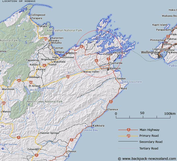
Map showing location of Moenui
LINZ description: Locality in Mahakipawa arm of Pelorus Sound. 2.5km East of Havelock. Wakamarina Survey District.
Latitude: -41.277773
Longitude: 173.797633
Northing: 5430100
Easting: 1666800
Land District: Marlborough
Feat Type: Locality
Latitude: -41.277773
Longitude: 173.797633
Northing: 5430100
Easting: 1666800
Land District: Marlborough
Feat Type: Locality

Scroll down to see a more detailed road map and below that a topographical map showing the location of Moenui. The road map has been supplied by openstreetmap and the topographical map of Moenui has been supplied by Land Information New Zealand (LINZ).
Yes you can use the top static map for you school/university project or personal website with a link back. Contact me for any commercial use.
[ A ] [ B ] [ C ] [ D ] [ E ] [ F ] [ G ] [ H ] [ I ] [ J ] [ K ] [ L ] [ M ] [ N ] [ O ] [ P ] [ Q ] [ R ] [ S ] [ T ] [ U ] [ V ] [ W ] [ X ] [ Y ] [ Z ]