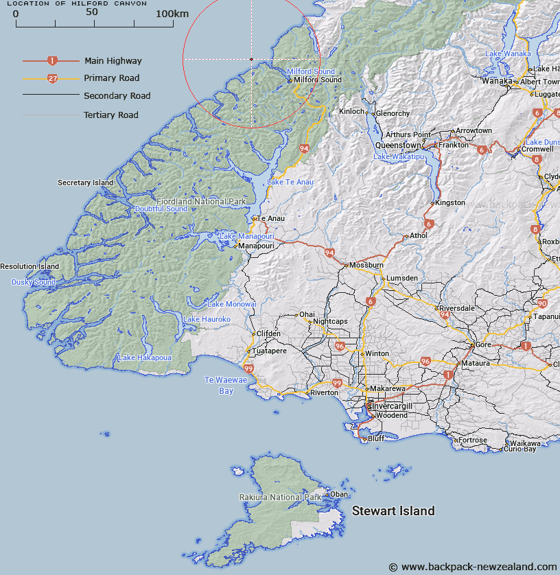
Map showing location of Milford Canyon
LINZ description: Fiordland shelf. A canyon that is a tributary of the Haast Canyon cut into the continental shelf and slope off Milford South. Its head is 7 km west of the entrance to Milford Sound and is about 80 m deep. Descends to join the Haast Canyon at a depth of 3800 m.
Latitude: -44.5575
Longitude: 167.706167
Northing: 5052556.2
Easting: 1179556.5
Land District: Southland
Feat Type: Canyon
Latitude: -44.5575
Longitude: 167.706167
Northing: 5052556.2
Easting: 1179556.5
Land District: Southland
Feat Type: Canyon

Scroll down to see a more detailed road map and below that a topographical map showing the location of Milford Canyon. The road map has been supplied by openstreetmap and the topographical map of Milford Canyon has been supplied by Land Information New Zealand (LINZ).
Yes you can use the top static map for you school/university project or personal website with a link back. Contact me for any commercial use.
[ A ] [ B ] [ C ] [ D ] [ E ] [ F ] [ G ] [ H ] [ I ] [ J ] [ K ] [ L ] [ M ] [ N ] [ O ] [ P ] [ Q ] [ R ] [ S ] [ T ] [ U ] [ V ] [ W ] [ X ] [ Y ] [ Z ]