Map showing location of McLeod Creek


LINZ description: Feature shown on: NZMS260 H37 Edition 1 1994
Latitude: -43.825917
Longitude: 170.178528
Northing: 5143592.1
Easting: 1373126.7
Land District: Canterbury
Feat Type: Stream


Scroll down to see a more detailed road map and below that a topographical map showing the location of McLeod Creek. The road map has been supplied by openstreetmap and the topographical map of McLeod Creek has been supplied by Land Information New Zealand (LINZ).

Yes you can use the top static map for you school/university project or personal website with a link back. Contact me for any commercial use.
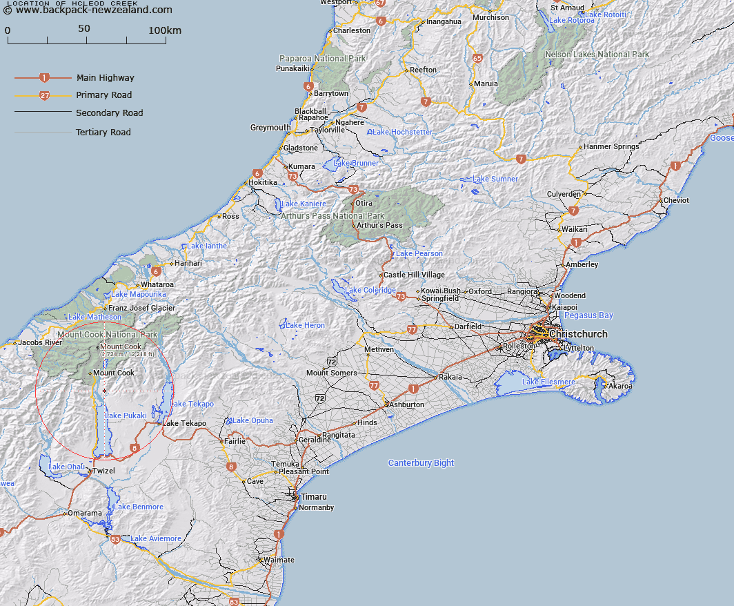
McLeod Creek Map New Zealand


New Zealand places in our database
[ A ] [ B ] [ C ] [ D ] [ E ] [ F ] [ G ] [ H ] [ I ] [ J ] [ K ] [ L ] [ M ] [ N ] [ O ] [ P ] [ Q ] [ R ] [ S ] [ T ] [ U ] [ V ] [ W ] [ X ] [ Y ] [ Z ]


Closest 20 Streams to McLeod Creek

Micks Creek ( 0.93km )   Joes Creek ( 1.19km )   Waits Creek ( 1.69km )   Andrews Creek ( 2.38km )   Bullrock Stream ( 2.8km )   Lily Stream ( 3.36km )   Parsons Creek ( 4.49km )   Redstone Stream ( 4.5km )   Second Creek ( 4.99km )   First Creek ( 5.47km )   Coxs Creek ( 5.63km )   Chop Creek ( 5.94km )   Tasman River ( 6.02km )   Arthurs Creek ( 6.05km )   Oatmeal Creek ( 6.98km )   Elbow Stream ( 7.15km )   Bird Stream ( 7.88km )   First Waterfall Stream ( 8.04km )   Freds Stream ( 8.37km )   Birch Hill Stream ( 8.4km )   Jollie River ( 9.29km )   Dead Horse Stream ( 9.61km )   Gorilla Stream ( 9.68km )   Slip Stream ( 9.75km )   Second Waterfall Stream ( 9.95km )   Hoophorn Stream ( 10.05km )   Bush Stream ( 10.23km )   Sawyer Stream ( 10.33km )   Landslip Creek ( 10.62km )   Fraser Stream ( 11.64km )   Silver Stream ( 11.84km )   Back Bush Stream ( 11.93km )   Littles Stream ( 12.05km )   Glencoe Stream ( 12.43km )   Black Birch Stream ( 12.59km )   Twin Stream ( 12.63km )   Irish Creek ( 12.75km )   Kitchener Creek ( 12.94km )   Hooker River ( 13.31km )   Mary Burn ( 13.45km )