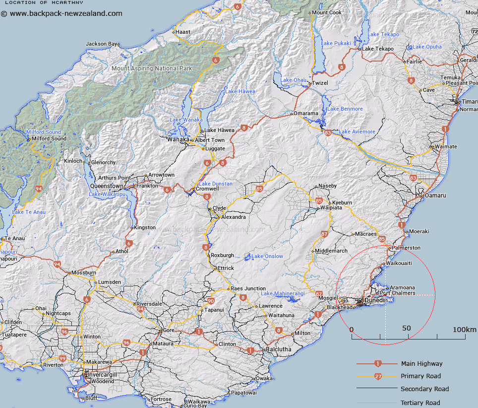
Map showing location of McArthny


LINZ description: Information not available will enter at a later date.
Latitude: -45.831182
Longitude: 170.683697
Northing: 4922100
Easting: 1420100
Land District: Otago
Feat Type: Trig Station


Scroll down to see a more detailed road map and below that a topographical map showing the location of McArthny. The road map has been supplied by openstreetmap and the topographical map of McArthny has been supplied by Land Information New Zealand (LINZ).

Yes you can use the top static map for you school/university project or personal website with a link back. Contact me for any commercial use.

McArthny Map New Zealand


New Zealand places in our database
[ A ] [ B ] [ C ] [ D ] [ E ] [ F ] [ G ] [ H ] [ I ] [ J ] [ K ] [ L ] [ M ] [ N ] [ O ] [ P ] [ Q ] [ R ] [ S ] [ T ] [ U ] [ V ] [ W ] [ X ] [ Y ] [ Z ]


Closest 20 Trig Stations to McArthny

McArthny ( 0km )   Waikouaiti ( 26.14km )   North Taieri ( 26.37km )   Moeraki ( 52.36km )   Waihemo ( 56.95km )   Obi ( 74.02km )   Kauroo Hill ( 82.04km )   Kauru Hill ( 82.04km )   Glenomaru ( 99.35km )   Kohurau ( 117.58km )   Hyde Rock ( 125.7km )   Pentland Hill ( 130.27km )   Yellow Hill ( 130.27km )   Mokoreta ( 141.52km )   Waiparu ( 144.25km )   Kelvin Peak ( 149.92km )   Te Huruhuru ( 159.73km )   Mataura ( 160.52km )   Toetoes ( 165.26km )   Fortrose ( 165.7km )   Forest Hill ( 178.57km )   Chastleton ( 190.95km )   Rangitata ( 198.62km )   Coldstream ( 198.62km )   Gowan Hill ( 203.29km )   Jeffrey ( 224km )   Rabbit Hill ( 257.08km )   Round Top ( 272.69km )   Tor ( 273.95km )   The Rock ( 279.24km )   Tara ( 282.73km )   Tihiokahukura ( 295.9km )   Harris ( 299.48km )   Kowhitirangi ( 328.49km )   Koiterangi ( 328.49km )   Weka ( 352.22km )   Pahau ( 376.79km )   Flintoft ( 389.33km )   Flintoff ( 389.33km )   Mount Saul ( 393.49km )