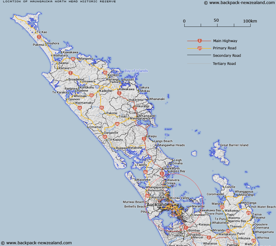
Map showing location of Maungauika / North Head Historic Reserve


LINZ description: As shown in Ngā Mana Whenua o Tāmaki Makaurau Collective Deed of Settlement Plan OTS-115-12. Described as 10.4990 hectares, more or less, being Section 1 SO 454837. NZTopo50-BA32 616227.
Latitude: -36.8275
Longitude: 174.812222
Northing: 5922731
Easting: 1761615.6
Land District: North Auckland
Feat Type: Historic Reserve


Scroll down to see a more detailed road map and below that a topographical map showing the location of Maungauika / North Head Historic Reserve. The road map has been supplied by openstreetmap and the topographical map of Maungauika / North Head Historic Reserve has been supplied by Land Information New Zealand (LINZ).

Yes you can use the top static map for you school/university project or personal website with a link back. Contact me for any commercial use.

Maungauika / North Head Historic Reserve Map New Zealand


New Zealand places in our database
[ A ] [ B ] [ C ] [ D ] [ E ] [ F ] [ G ] [ H ] [ I ] [ J ] [ K ] [ L ] [ M ] [ N ] [ O ] [ P ] [ Q ] [ R ] [ S ] [ T ] [ U ] [ V ] [ W ] [ X ] [ Y ] [ Z ]


Closest 20 Historic Reserves to Maungauika / North Head Historic Reserve

North Head Historic Reserve ( 0km )   Maungauika / North Head Historic Reserve ( 0km )   Fort Takapuna Historic Reserve ( 1.71km )   Matietie Historic Reserve ( 16.63km )   St Johns Redoubt Historic Reserve ( 19.62km )   Wiri Historic Reserve ( 20.28km )   Stony Batter Historic Reserve ( 32.94km )   Waiau Pa Historic Reserve ( 37.28km )   Pratts Road Historic Reserve ( 38.35km )   Kawau Island Historic Reserve ( 44.25km )   Smeltinghouse Historic Reserve ( 45.36km )   Mahurangi River Historic Reserve ( 48.15km )   Cameron Town Historic Reserve ( 48.83km )   Whangamarino Redoubt Historic Reserve ( 56.27km )   Meremere Pa Site Historic Reserve ( 59.19km )   School Of Mines Historic Reserve ( 62km )   Rangiriri Pa Historic Reserve ( 72.43km )   Te Wheoro's Redoubt Historic Reserve ( 72.73km )   Opera Point Historic Reserve ( 73.36km )   Taniwha Pa Historic Reserve ( 77.89km )   Smith Historic Reserve ( 78.08km )   Kaipara North Head Lighthouse Historic Reserve ( 78.33km )   Bald Spur Historic Reserve ( 82.35km )   Wigmore Historic Reserve ( 88.31km )   Te Pare Point Historic Reserve ( 89.43km )   Opito Point Historic Reserve ( 90.5km )   Te Puia Block Historic Reserve ( 90.99km )   Onepoto Historic Reserve ( 91.91km )   Sailors Grave Historic Reserve ( 92.78km )   S.S. Wairarapa Graves (Tapuwai Point) Historic Reserve ( 96.26km )   Victoria Battery Historic Reserve ( 107.34km )   Kauri Point Historic Reserve ( 128.14km )   Puraho Historic Reserve ( 131.27km )   Gudex Memorial Park Historic Reserve ( 131.5km )   Paterangi Historic Reserve ( 131.68km )   Selwyn Park Historic Reserve ( 138.99km )   Gerald Crapp Historic Reserve ( 141.34km )   Kakepuku Mountain Historic Reserve ( 143.34km )   Gate Pa Historic Reserve ( 153.55km )   Ruapekapeka Historic Reserve ( 164.23km )