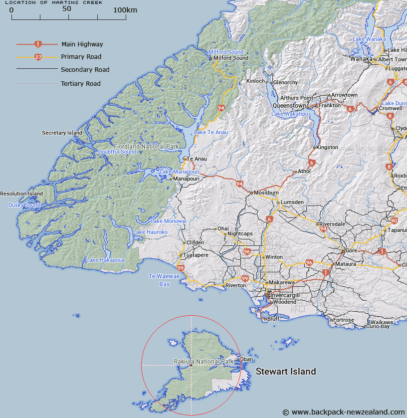
Map showing location of Martins Creek


LINZ description: Creek flowing into Mason Bay, Stewart Island, 1.75km South of Duck Creek. Mason Survey District.
Latitude: -46.938359
Longitude: 167.771839
Northing: 4788404.5
Easting: 1202106.4
Land District: Southland
Feat Type: Stream


Scroll down to see a more detailed road map and below that a topographical map showing the location of Martins Creek. The road map has been supplied by openstreetmap and the topographical map of Martins Creek has been supplied by Land Information New Zealand (LINZ).

Yes you can use the top static map for you school/university project or personal website with a link back. Contact me for any commercial use.

Martins Creek Map New Zealand


New Zealand places in our database
[ A ] [ B ] [ C ] [ D ] [ E ] [ F ] [ G ] [ H ] [ I ] [ J ] [ K ] [ L ] [ M ] [ N ] [ O ] [ P ] [ Q ] [ R ] [ S ] [ T ] [ U ] [ V ] [ W ] [ X ] [ Y ] [ Z ]


Closest 20 Streams to Martins Creek

Double Creek ( 1.27km )   Duck Creek ( 1.7km )   Wreck Creek ( 2.55km )   Cavalier Creek ( 4.21km )   Leask Creek ( 6.62km )   Rakeahua River ( 7.47km )   Waterfall Creek ( 10.73km )   Little River ( 11.08km )   Tolson River ( 11.08km )   Scott Burn ( 11.94km )   Forked Creek ( 13.01km )   Freshwater River ( 13.03km )   Duck Creek ( 13.59km )   Doughboy Creek ( 14.01km )   Topeheti Creek ( 15.22km )   Ogles Creek ( 15.76km )   Blaikies Creek ( 16.81km )   Kirklands Creek ( 18.32km )   Gorge Creek ( 20km )   Toitoi River ( 20.23km )   Euchre Creek ( 20.79km )   Bullers Creek ( 20.93km )   Saddle Creek ( 21km )   Kopeka River ( 21.3km )   Newton Creek ( 21.59km )   McArthurs Creek ( 21.97km )   Duck Creek ( 22.23km )   Murray River ( 22.71km )   Seal Creek ( 23.21km )   Arnetts Creek ( 23.26km )   Pegasus Creek ( 23.41km )   Longuet Creek ( 23.41km )   Robertson River ( 23.79km )   Ruggedy River ( 23.86km )   Ruggedy Stream ( 23.86km )   Ryans Creek ( 24.15km )   Maori Creek ( 24.38km )   Healeys Creek ( 24.62km )   Smoky Creek ( 24.89km )   Mill Creek ( 25.15km )