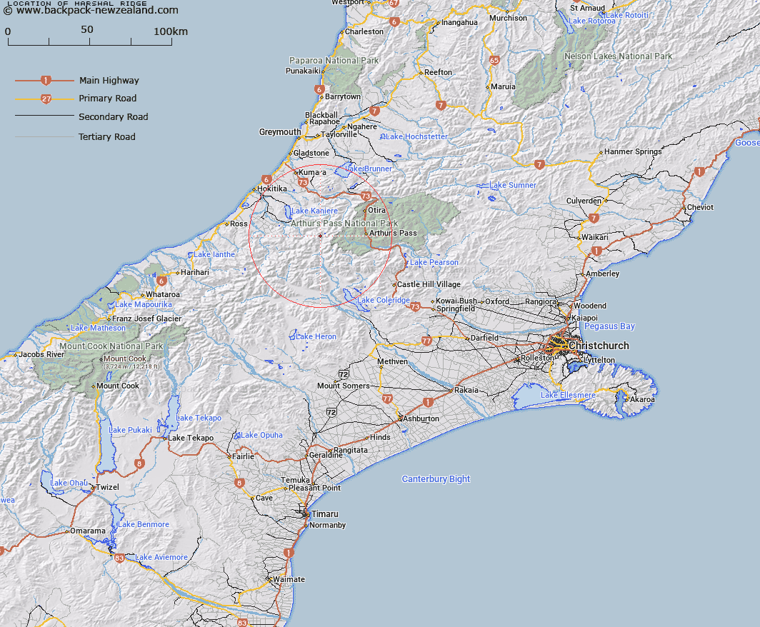
Map showing location of Marshal Ridge
LINZ description: A ridge descending generally northeast from between Hall Col and Grave Col for approximately 2.2km from NZTopo50-BV19 621420 to 640430, near the headwaters of Wilberforce River in the Southern Alps / Kā Tiritiri o te Moana, approximately 40km southeast of Hokitika.
Latitude: -42.957591
Longitude: 171.321009
Northing: 5242527.1
Easting: 1463052.7
Land District: Canterbury
Feat Type: Ridge
Latitude: -42.957591
Longitude: 171.321009
Northing: 5242527.1
Easting: 1463052.7
Land District: Canterbury
Feat Type: Ridge

Scroll down to see a more detailed road map and below that a topographical map showing the location of Marshal Ridge. The road map has been supplied by openstreetmap and the topographical map of Marshal Ridge has been supplied by Land Information New Zealand (LINZ).
Yes you can use the top static map for you school/university project or personal website with a link back. Contact me for any commercial use.
[ A ] [ B ] [ C ] [ D ] [ E ] [ F ] [ G ] [ H ] [ I ] [ J ] [ K ] [ L ] [ M ] [ N ] [ O ] [ P ] [ Q ] [ R ] [ S ] [ T ] [ U ] [ V ] [ W ] [ X ] [ Y ] [ Z ]