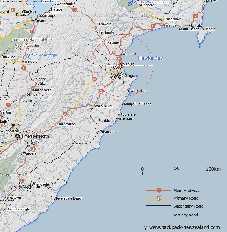
Map showing location of Maraenui
LINZ description: In the City of Napier. The southernmost portion of the city bounded towards the east by the old Tutaekuri river-bed, towards the west by Riverbend Road, and towards the north by the area known as Marewa. Heretaunga Survey District.
Latitude: -39.515775
Longitude: 176.904743
Northing: 5618700
Easting: 1935700
Land District: Hawke's Bay
Feat Type: Suburb
Latitude: -39.515775
Longitude: 176.904743
Northing: 5618700
Easting: 1935700
Land District: Hawke's Bay
Feat Type: Suburb

Scroll down to see a more detailed road map and below that a topographical map showing the location of Maraenui. The road map has been supplied by openstreetmap and the topographical map of Maraenui has been supplied by Land Information New Zealand (LINZ).
Yes you can use the top static map for you school/university project or personal website with a link back. Contact me for any commercial use.
[ A ] [ B ] [ C ] [ D ] [ E ] [ F ] [ G ] [ H ] [ I ] [ J ] [ K ] [ L ] [ M ] [ N ] [ O ] [ P ] [ Q ] [ R ] [ S ] [ T ] [ U ] [ V ] [ W ] [ X ] [ Y ] [ Z ]