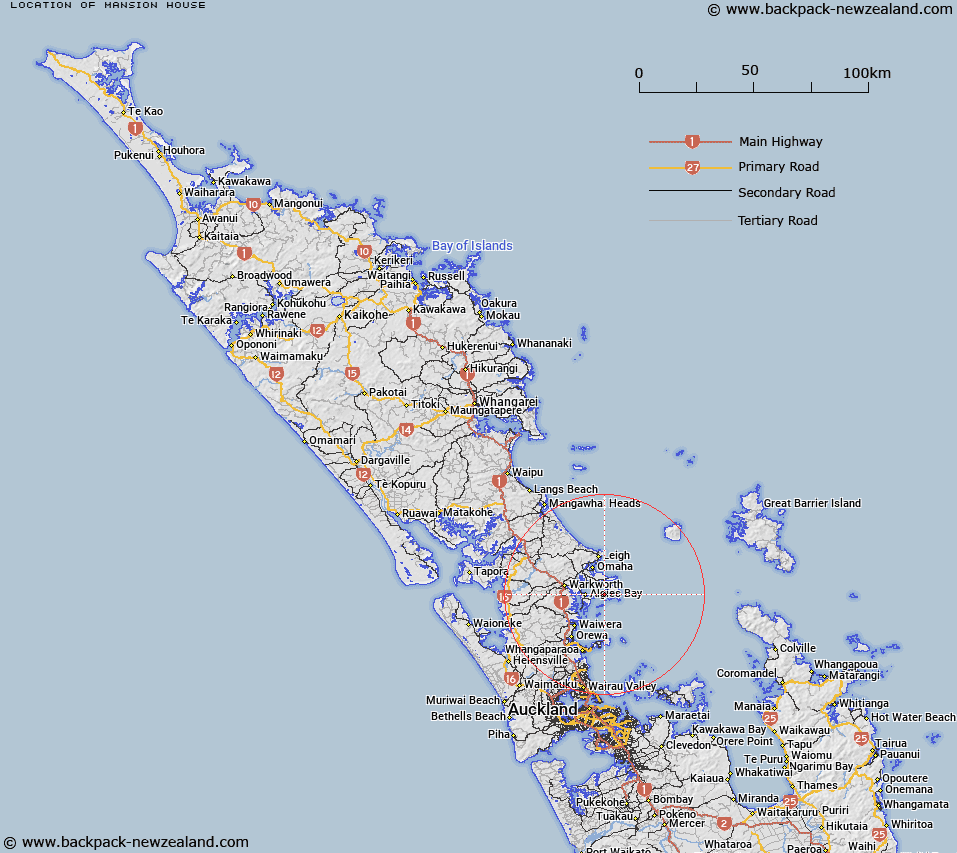
Map showing location of Mansion House


LINZ description: Feature shown on: NZMS260 R09 Edition 1 1981
Latitude: -36.430833
Longitude: 174.818694
Northing: 5966727.3
Easting: 1763026.5
Land District: North Auckland
Feat Type: Site


Scroll down to see a more detailed road map and below that a topographical map showing the location of Mansion House. The road map has been supplied by openstreetmap and the topographical map of Mansion House has been supplied by Land Information New Zealand (LINZ).

Yes you can use the top static map for you school/university project or personal website with a link back. Contact me for any commercial use.
Mansion House Map New Zealand


New Zealand places in our database
[ A ] [ B ] [ C ] [ D ] [ E ] [ F ] [ G ] [ H ] [ I ] [ J ] [ K ] [ L ] [ M ] [ N ] [ O ] [ P ] [ Q ] [ R ] [ S ] [ T ] [ U ] [ V ] [ W ] [ X ] [ Y ] [ Z ]


Closest 20 Sites to Mansion House

Mansion House ( 0km )   Te Rite-a-Kawharu P? ( 29.87km )   Ng?roto ( 31.84km )   Parihakoakoa Pa ( 32.06km )   Te Hue Pa ( 34.21km )   Kaikai P? ( 40.85km )   Taurangaokahu ( 42.99km )   Te Ika a Ranganui ( 44.83km )   Savage Memorial ( 46.17km )   Kahukur? ( 47.48km )   Tauwhare ( 47.63km )   Holder Lookout ( 48.03km )   Ewelme Cottage ( 48.1km )   Muriwai Pa ( 49.41km )   Ihawhanui Pa ( 49.79km )   Hiorekata ( 49.81km )   Coates Memorial ( 50.95km )   Moran Lookout ( 53.49km )   Urarima Pa ( 55.22km )   Tower Hill Pa ( 56.8km )   Tawhiri Pa ( 58.03km )   Pouto Marae ( 59.12km )   Parkinsons Lookout ( 59.42km )   Mahipatua Pa ( 65.74km )   Spragg Monument ( 67.15km )   McLachlan Memorial ( 67.76km )   Rangitane Pa ( 68.14km )   Puke Kiwiriki Pa ( 72.26km )   Whatapaka Marae ( 74.2km )   Rangiriri Pa ( 79.62km )   Awahoa Pa ( 79.75km )   Huitau Pa ( 81.32km )   Waipuna Pa ( 81.77km )   Kaiaua Marae ( 84.16km )   Scotts Monument ( 86.23km )   Repia Marae ( 86.93km )   Mission Bush ( 86.94km )   Tui Pa ( 88.42km )   Tahuna Marae ( 89.42km )   Pukeatua Pa ( 92.01km )