Map showing location of Manawatawhara Stream


LINZ description: Feature shown on: NZMS260 T12 Edition 3 1991 Limited Revision 1996
Latitude: -37.233167
Longitude: 175.876556
Northing: 5875383.3
Easting: 1855189.9
Land District: South Auckland
Feat Type: Stream
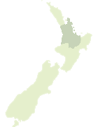

Scroll down to see a more detailed road map and below that a topographical map showing the location of Manawatawhara Stream. The road map has been supplied by openstreetmap and the topographical map of Manawatawhara Stream has been supplied by Land Information New Zealand (LINZ).

Yes you can use the top static map for you school/university project or personal website with a link back. Contact me for any commercial use.
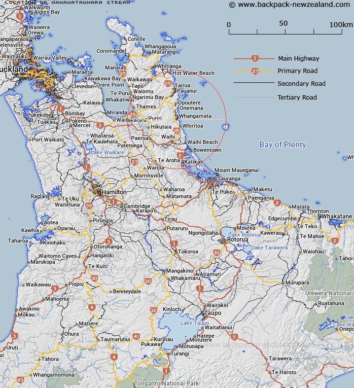
Manawatawhara Stream Map New Zealand


New Zealand places in our database
[ A ] [ B ] [ C ] [ D ] [ E ] [ F ] [ G ] [ H ] [ I ] [ J ] [ K ] [ L ] [ M ] [ N ] [ O ] [ P ] [ Q ] [ R ] [ S ] [ T ] [ U ] [ V ] [ W ] [ X ] [ Y ] [ Z ]


Closest 20 Streams to Manawatawhara Stream

Tunaiti Stream ( 0.48km )   Opitonui Stream ( 1.77km )   Waiharakeke Stream ( 2.43km )   Opitoiti Stream ( 2.72km )   Okauanga Stream ( 3.26km )   Muddy Stream ( 4.31km )   Waikiekie Stream ( 4.35km )   Otahu River ( 4.48km )   Wairangi Stream ( 4.5km )   Wentworth River ( 4.54km )   Waiariki Stream ( 4.65km )   Wairoa Stream ( 4.93km )   Te Weiti Stream ( 5.36km )   Kaupeka Stream ( 5.77km )   Kiripaka Stream ( 5.85km )   Waimahura Stream ( 6.07km )   Tapaparoroa Stream ( 6.12km )   Wharekirauponga Stream ( 6.39km )   Young Stream ( 6.61km )   Te Wharawhara Stream ( 6.86km )   Whiritoa Stream ( 6.95km )   Otuwheti Stream ( 7.08km )   Ramarama Stream ( 7.12km )   Te Ramarama River ( 7.12km )   Tornado Stream ( 7.25km )   Inca Stream ( 7.4km )   Culpan Stream ( 7.41km )   Thompson Stream ( 7.73km )   Lignite Stream ( 7.76km )   Waikoura Stream ( 7.88km )   Sutcliff Stream ( 7.91km )   Phoenix Stream ( 7.99km )   Campbell Stream ( 8.08km )   Wharekawa River ( 8.43km )   Whiteman Stream ( 8.57km )   Adams Stream ( 8.72km )   Parihaka Stream ( 9.6km )   Mataora Stream ( 9.8km )   Edmonds Stream ( 10.34km )   Right Branch ( 11.05km )