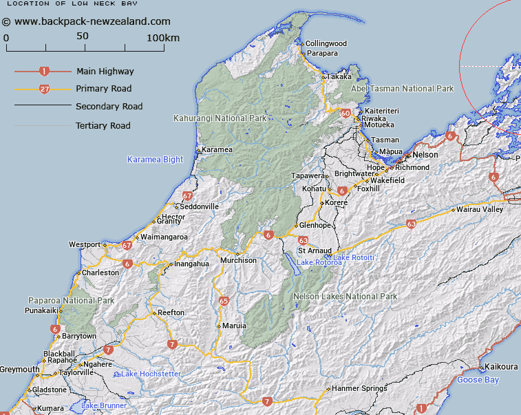
Map showing location of Low Neck Bay
LINZ description: Bay between Old Man Point and the intersection of the south-west boundary of Section 10 with the eastern shoreline, D'Urville Island. D'Urville Survey District.
Latitude: -40.795282
Longitude: 173.947337
Northing: 5483536.5
Easting: 1679919.1
Land District: Nelson
Feat Type: Bay
Latitude: -40.795282
Longitude: 173.947337
Northing: 5483536.5
Easting: 1679919.1
Land District: Nelson
Feat Type: Bay

Scroll down to see a more detailed road map and below that a topographical map showing the location of Low Neck Bay. The road map has been supplied by openstreetmap and the topographical map of Low Neck Bay has been supplied by Land Information New Zealand (LINZ).
Yes you can use the top static map for you school/university project or personal website with a link back. Contact me for any commercial use.
[ A ] [ B ] [ C ] [ D ] [ E ] [ F ] [ G ] [ H ] [ I ] [ J ] [ K ] [ L ] [ M ] [ N ] [ O ] [ P ] [ Q ] [ R ] [ S ] [ T ] [ U ] [ V ] [ W ] [ X ] [ Y ] [ Z ]