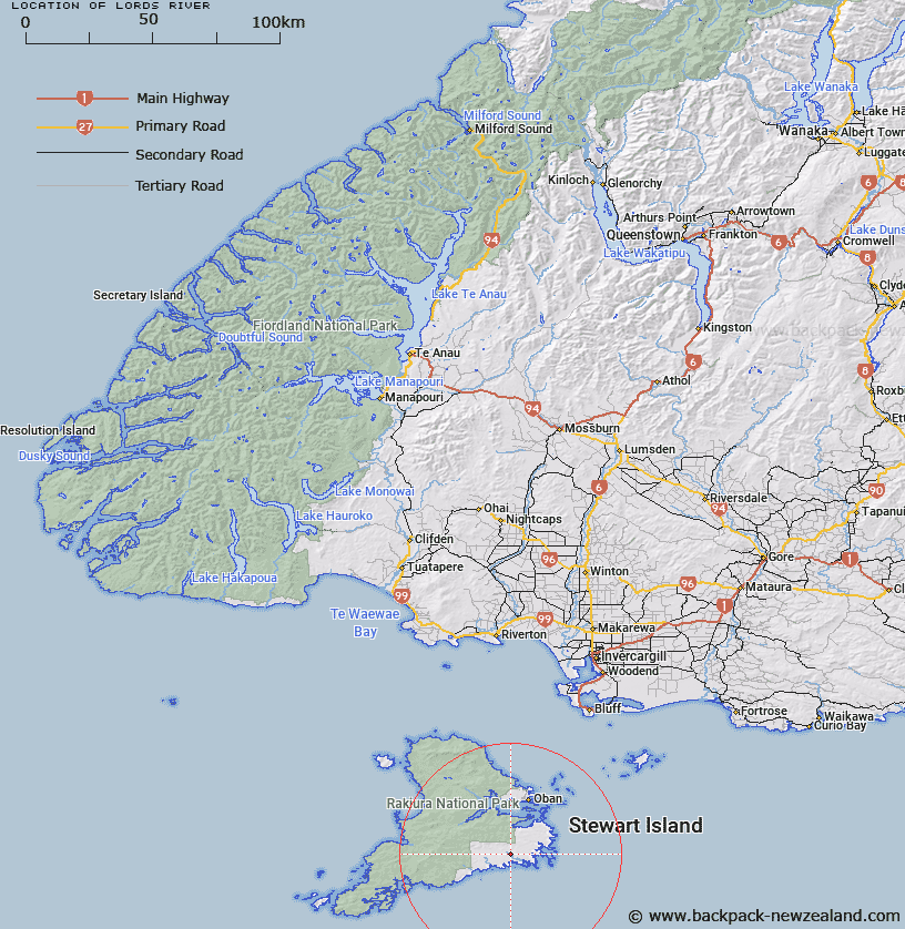
Map showing location of Lords River


LINZ description: Feature shown on: NZMS260-E49 400330; NZTopo50-CJ09 254739;
Latitude: -47.081436
Longitude: 168.06531
Northing: 4773959.8
Easting: 1225441.2
Land District: Southland
Feat Type: Stream


Scroll down to see a more detailed road map and below that a topographical map showing the location of Lords River. The road map has been supplied by openstreetmap and the topographical map of Lords River has been supplied by Land Information New Zealand (LINZ).

Yes you can use the top static map for you school/university project or personal website with a link back. Contact me for any commercial use.

Lords River Map New Zealand


New Zealand places in our database
[ A ] [ B ] [ C ] [ D ] [ E ] [ F ] [ G ] [ H ] [ I ] [ J ] [ K ] [ L ] [ M ] [ N ] [ O ] [ P ] [ Q ] [ R ] [ S ] [ T ] [ U ] [ V ] [ W ] [ X ] [ Y ] [ Z ]


Closest 20 Streams to Lords River

Fifes Creek ( 6.22km )   Heron River ( 6.55km )   Gorge Creek ( 7.44km )   Toitoi River ( 8.6km )   Newton Creek ( 11.26km )   Kirklands Creek ( 12.31km )   Chew Tobacco Creek ( 12.39km )   Kopeka River ( 13.23km )   Duck Creek ( 14.14km )   Arnetts Creek ( 14.19km )   Euchre Creek ( 14.26km )   Bullers Creek ( 14.56km )   Ogles Creek ( 15.95km )   Blaikies Creek ( 16.2km )   Waterfall Creek ( 17.05km )   Seal Creek ( 17.65km )   Ryans Creek ( 19.16km )   Rakeahua River ( 20.07km )   Duck Creek ( 20.27km )   Mill Creek ( 21.33km )   Saddle Creek ( 21.9km )   Little River ( 22.38km )   Tolson River ( 22.38km )   Topeheti Creek ( 22.88km )   Robertson River ( 22.94km )   Doughboy Creek ( 23.75km )   Little River ( 24.14km )   Maori Creek ( 24.65km )   Healeys Creek ( 26.2km )   McArthurs Creek ( 26.23km )   Wreck Creek ( 27.15km )   Double Creek ( 27.35km )   Martins Creek ( 27.35km )   Duck Creek ( 27.4km )   Scott Burn ( 27.61km )   Cavalier Creek ( 28.1km )   Pegasus Creek ( 28.3km )   Freshwater River ( 28.69km )   Leask Creek ( 29.43km )   Longuet Creek ( 29.47km )