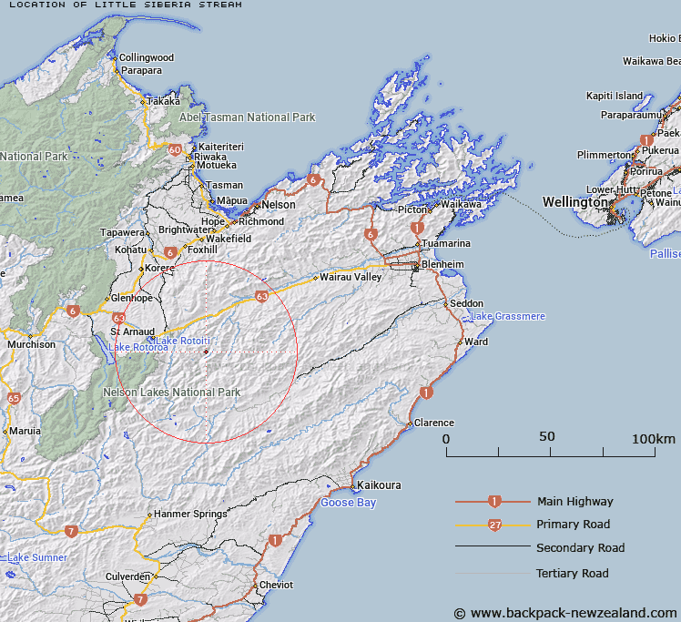
Map showing location of Little Siberia Stream


LINZ description: Tributary of the Branch River flowing from the south-east side of Scotts Knob parallel with Siberia Stream to meet the Branch just north east of the Siberia Hutt
Latitude: -41.863705
Longitude: 173.067172
Northing: 5365354.1
Easting: 1605574.9
Land District: Marlborough
Feat Type: Stream


Scroll down to see a more detailed road map and below that a topographical map showing the location of Little Siberia Stream. The road map has been supplied by openstreetmap and the topographical map of Little Siberia Stream has been supplied by Land Information New Zealand (LINZ).

Yes you can use the top static map for you school/university project or personal website with a link back. Contact me for any commercial use.

Little Siberia Stream Map New Zealand


New Zealand places in our database
[ A ] [ B ] [ C ] [ D ] [ E ] [ F ] [ G ] [ H ] [ I ] [ J ] [ K ] [ L ] [ M ] [ N ] [ O ] [ P ] [ Q ] [ R ] [ S ] [ T ] [ U ] [ V ] [ W ] [ X ] [ Y ] [ Z ]


Closest 20 Streams to Little Siberia Stream

Siberia Stream ( 0.95km )   Hand Setting Stream ( 2.66km )   Branch River ( 2.73km )   Lost Stream ( 2.77km )   Scott Stream ( 2.86km )   Greig Stream ( 4.39km )   Silverstream ( 5.43km )   Henry Stream ( 5.84km )   Misery Stream ( 6.42km )   Spaniard Stream ( 6.68km )   Hut Stream ( 7.37km )   Leatham River ( 7.47km )   Little Misery Stream ( 7.79km )   Weka Stream ( 8.52km )   Alan Stream ( 8.67km )   Sandfly Stream ( 9.17km )   Barber Stream ( 9.21km )   Flat Stream ( 9.26km )   Bobs Stream ( 9.97km )   Hot Rock Stream ( 10.36km )   Bull Paddock Stream ( 10.47km )   Gordon Stream ( 10.51km )   Cat Stream ( 10.72km )   Nesbits Creek ( 11.07km )   Little Cave Stream ( 11.27km )   May Stream ( 11.49km )   Waihopai Saddle Stream ( 12.17km )   Hellfire Stream ( 12.53km )   Dover Stream ( 12.66km )   Possum Stream ( 12.99km )   Chinaman Stream ( 13.05km )   No Catchem Stream ( 13.06km )   Bush Camp Stream ( 13.13km )   Merry Stream ( 13.15km )   Cave Stream ( 13.31km )   Wildsheep Stream ( 13.46km )   Rough Creek ( 13.54km )   Woolshed Stream ( 13.62km )   Cow Stream ( 14.2km )   Netting Stream ( 14.23km )