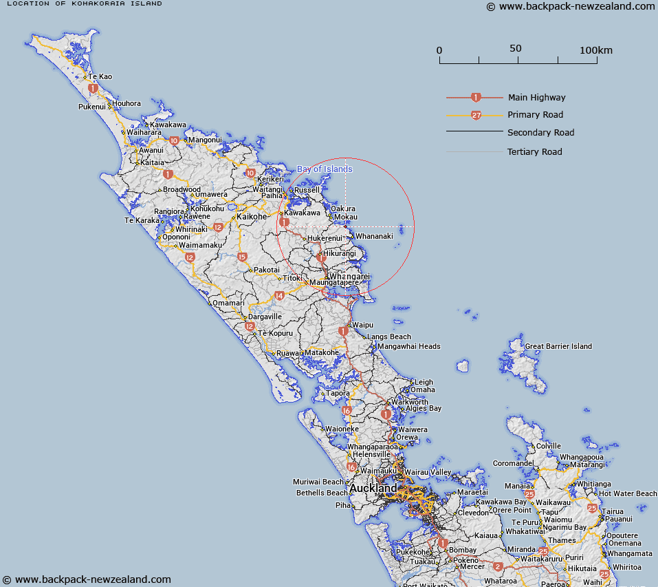
Map showing location of Komakoraia Island


LINZ description: Off the east coast south of Okupe Beach and north of Pareparea Bay west of Poor Knights Islands.
Latitude: -35.45374
Longitude: 174.428128
Northing: 6075700
Easting: 1729600
Land District: North Auckland
Feat Type: Island


Scroll down to see a more detailed road map and below that a topographical map showing the location of Komakoraia Island. The road map has been supplied by openstreetmap and the topographical map of Komakoraia Island has been supplied by Land Information New Zealand (LINZ).

Yes you can use the top static map for you school/university project or personal website with a link back. Contact me for any commercial use.

Komakoraia Island Map New Zealand


New Zealand places in our database
[ A ] [ B ] [ C ] [ D ] [ E ] [ F ] [ G ] [ H ] [ I ] [ J ] [ K ] [ L ] [ M ] [ N ] [ O ] [ P ] [ Q ] [ R ] [ S ] [ T ] [ U ] [ V ] [ W ] [ X ] [ Y ] [ Z ]


Closest 20 Islands to Komakoraia Island

Komakoraia Island ( 0km )   Te Ruatahi Islet ( 0.57km )   Okupe Island ( 0.81km )   Otawhanga Island ( 2.49km )   Titi Island ( 2.84km )   Wide Berth Islands ( 3.24km )   Rimariki Island ( 3.41km )   Ngataurua Rock ( 3.46km )   Four Islets ( 3.47km )   Motuwhariki Island ( 3.92km )   Motutaniwha Island ( 4.68km )   Motutohe Island ( 5.29km )   Moturoa Island ( 6.71km )   Motukehua Island (Nops Island) ( 8.36km )   Motutara Island (Henry Island) ( 9.17km )   Bland Rocks ( 9.48km )   Omahu Islets ( 9.93km )   Black Rocks ( 10.3km )   Okaoko Rock ( 11.07km )   Whitikau Rocks ( 11.14km )   Kaiwha Rock ( 11.81km )   Danger Rock ( 12.61km )   Motukowhai Island ( 12.63km )   Moanarua Island ( 13.03km )   Motuti Island ( 13.11km )   Waitapu Rock ( 13.37km )   Parerangi Island ( 13.45km )   Motuhi Island ( 13.73km )   Motukauri Island ( 14.58km )   Bateman Island ( 14.58km )   Cone Rock ( 14.73km )   Motukowhai Island ( 16.34km )   Motukiore Island ( 17.87km )   Te Kopua Island ( 18.98km )   Philip Island ( 20.37km )   Kukutauwhao Island ( 20.44km )   Kuihi Island ( 21.49km )   Rahomaunu Island ( 21.69km )   Motutara Island ( 23.02km )   Goat Island ( 23.75km )