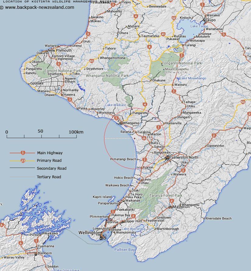
Map showing location of Koitiata Wildlife Management Reserve
LINZ description: Located along the eastern bounds of Santoft Forest along Beamish Road, approximately 15km west of Marton.
Latitude: -40.117222
Longitude: 175.197778
Northing: 5556917
Easting: 1787288.4
Land District: Wellington
Feat Type: Wildlife Management Area
Latitude: -40.117222
Longitude: 175.197778
Northing: 5556917
Easting: 1787288.4
Land District: Wellington
Feat Type: Wildlife Management Area

Scroll down to see a more detailed road map and below that a topographical map showing the location of Koitiata Wildlife Management Reserve. The road map has been supplied by openstreetmap and the topographical map of Koitiata Wildlife Management Reserve has been supplied by Land Information New Zealand (LINZ).
Yes you can use the top static map for you school/university project or personal website with a link back. Contact me for any commercial use.
[ A ] [ B ] [ C ] [ D ] [ E ] [ F ] [ G ] [ H ] [ I ] [ J ] [ K ] [ L ] [ M ] [ N ] [ O ] [ P ] [ Q ] [ R ] [ S ] [ T ] [ U ] [ V ] [ W ] [ X ] [ Y ] [ Z ]