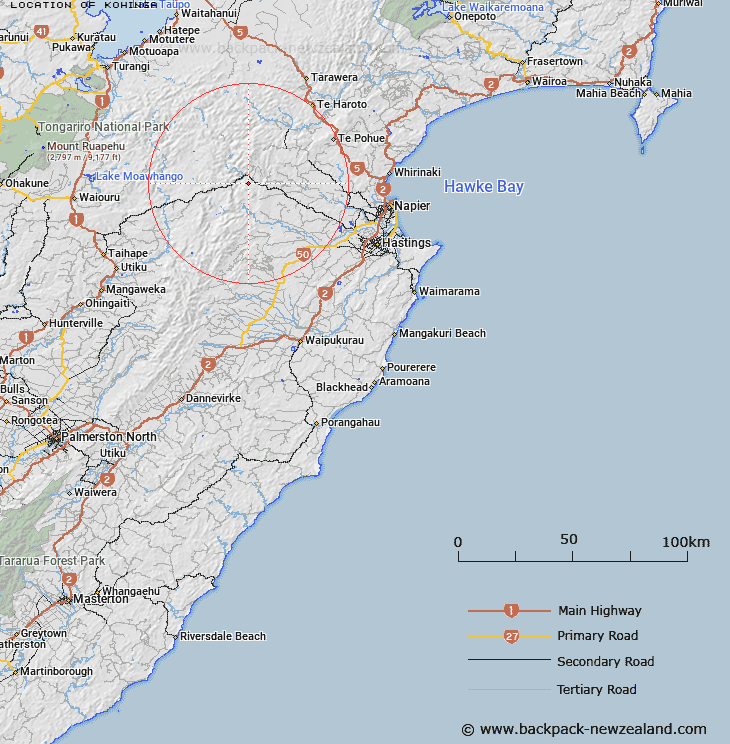
Map showing location of Kohinga


LINZ description: Otherwise known as Trig. C. 3,313 ft, Geodetic code B27R. Kuripapango Survey District.
Latitude: -39.415977
Longitude: 176.351083
Northing: 5631700
Easting: 1888501.6
Land District: Hawke's Bay
Feat Type: Trig Station


Scroll down to see a more detailed road map and below that a topographical map showing the location of Kohinga. The road map has been supplied by openstreetmap and the topographical map of Kohinga has been supplied by Land Information New Zealand (LINZ).

Yes you can use the top static map for you school/university project or personal website with a link back. Contact me for any commercial use.

Kohinga Map New Zealand


New Zealand places in our database
[ A ] [ B ] [ C ] [ D ] [ E ] [ F ] [ G ] [ H ] [ I ] [ J ] [ K ] [ L ] [ M ] [ N ] [ O ] [ P ] [ Q ] [ R ] [ S ] [ T ] [ U ] [ V ] [ W ] [ X ] [ Y ] [ Z ]


Closest 20 Trig Stations to Kohinga

Kuripapango ( 6.49km )   Kaiarahi ( 11.5km )   End ( 19.44km )   Tawai-Tohunga ( 27.28km )   Tauwheketewhango ( 27.28km )   Tawheketewhango ( 27.28km )   Tawake Tohunga ( 27.28km )   Parks Peak ( 27.99km )   Pohatuhaha ( 27.99km )   Puketautahi ( 28.7km )   Salisbury ( 31.83km )   Parahakipaku ( 33.5km )   Waikamaka ( 36.39km )   Remutupo ( 36.39km )   Wakaateo ( 38.9km )   Waka Atea ( 38.9km )   Thunderbolt ( 42.46km )   Te Atuaoparapara ( 45.97km )   Tataraakin ( 47.3km )   Kawhatau ( 50.14km )   Mangaweka ( 50.14km )   Paemutu ( 51.18km )   Ohuinga ( 53.15km )   Patuwahine ( 57.36km )   Kahuranaki ( 61.39km )   Kauranaki ( 61.39km )   Wairakai ( 66.3km )   Motuoapa ( 69.28km )   Pukakaramea ( 75.64km )   Pukaramea ( 75.64km )   Patuwahine ( 76.42km )   Mangamahu ( 83.63km )   Tuwatawata ( 86.16km )   Tuawatawata ( 86.16km )   Mapouriki ( 90.13km )   Maporiki ( 90.13km )   Matanginui ( 91.87km )   Matanganui ( 91.87km )   Ross ( 97.05km )   Kiorenui ( 98.81km )