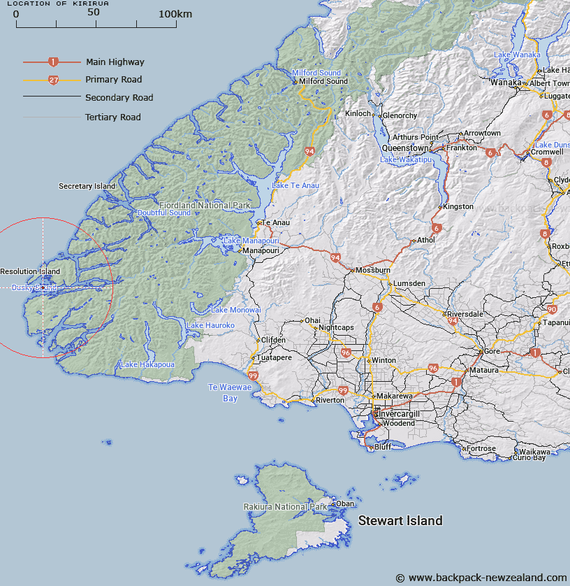
Map showing location of Kirirua


LINZ description: Largest lake on Anchor Island, located at the entrance to Dusky Sound, Fiordland.
Latitude: -45.755481
Longitude: 166.533926
Northing: 4912750
Easting: 1097144.6
Land District: Southland
Feat Type: Lake


Scroll down to see a more detailed road map and below that a topographical map showing the location of Kirirua. The road map has been supplied by openstreetmap and the topographical map of Kirirua has been supplied by Land Information New Zealand (LINZ).

Yes you can use the top static map for you school/university project or personal website with a link back. Contact me for any commercial use.

Kirirua Map New Zealand


New Zealand places in our database
[ A ] [ B ] [ C ] [ D ] [ E ] [ F ] [ G ] [ H ] [ I ] [ J ] [ K ] [ L ] [ M ] [ N ] [ O ] [ P ] [ Q ] [ R ] [ S ] [ T ] [ U ] [ V ] [ W ] [ X ] [ Y ] [ Z ]


Closest 20 Lakes to Kirirua

Useless Lake ( 3.92km )   Lake Forster ( 5.42km )   Lake Fraser ( 14.91km )   Lake Macarthur ( 18.05km )   Freshwater Cove ( 19.57km )   Lake Cadman ( 19.57km )   Lake Hamer ( 19.57km )   Lake Carrick ( 19.58km )   Lake Rimmer ( 19.82km )   Lake Purser ( 20.42km )   Lake Caesar ( 22.18km )   Lake Hector ( 25.27km )   Lake Thomas ( 25.78km )   Lake Esau ( 26.04km )   Lake Dobson ( 26.94km )   Victor Lake ( 26.95km )   Lake Mike ( 29.06km )   False Lake ( 29.7km )   Prong Lake ( 30.09km )   Shy Lake ( 32.3km )   Moose Lake ( 32.98km )   Lake Beattie ( 34.07km )   Lake Widgeon ( 34.26km )   Lake Swan ( 37.83km )   Lake Hay ( 40.27km )   Lake Paradise ( 41.26km )   Loch Maree ( 41.54km )   Lake Kakapo ( 43.83km )   Sphinx Lake ( 44.45km )   Monk Lake ( 44.46km )   Jane Lake ( 45.03km )   Lake Horizon ( 46.43km )   Lake Ursula ( 46.5km )   Gair Loch ( 46.88km )   Lake Laffy ( 47.52km )   Stump Lake ( 47.59km )   Lake Bright ( 47.76km )   Lake Roe ( 48.34km )   Lake Mouat ( 48.72km )   Lake Kiwi ( 49.33km )