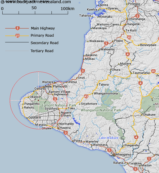
Map showing location of Kiri Peak
LINZ description: Peak, Egmont National Park, North-West Egmont, on Pouakai Range, near the head of Kiri Stream and Momona Stream. 600m North of Trig. Pouakai (Geodetic Code A7DB). Wairau Survey District.
Latitude: -39.232393
Longitude: 174.015348
Northing: 5656942.9
Easting: 1687633.3
Land District: Taranaki
Feat Type: Hill
Latitude: -39.232393
Longitude: 174.015348
Northing: 5656942.9
Easting: 1687633.3
Land District: Taranaki
Feat Type: Hill

Scroll down to see a more detailed road map and below that a topographical map showing the location of Kiri Peak. The road map has been supplied by openstreetmap and the topographical map of Kiri Peak has been supplied by Land Information New Zealand (LINZ).
Yes you can use the top static map for you school/university project or personal website with a link back. Contact me for any commercial use.
[ A ] [ B ] [ C ] [ D ] [ E ] [ F ] [ G ] [ H ] [ I ] [ J ] [ K ] [ L ] [ M ] [ N ] [ O ] [ P ] [ Q ] [ R ] [ S ] [ T ] [ U ] [ V ] [ W ] [ X ] [ Y ] [ Z ]