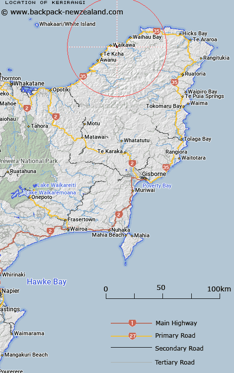
Map showing location of Kerirangi


LINZ description: Hill at height 213m, 1km inland from Whanarua Bay, Bay of Plenty.
Latitude: -37.685531
Longitude: 177.80393
Northing: 5818202.1
Easting: 2023693.2
Land District: Gisborne
Feat Type: Hill


Scroll down to see a more detailed road map and below that a topographical map showing the location of Kerirangi. The road map has been supplied by openstreetmap and the topographical map of Kerirangi has been supplied by Land Information New Zealand (LINZ).

Yes you can use the top static map for you school/university project or personal website with a link back. Contact me for any commercial use.

Kerirangi Map New Zealand


New Zealand places in our database
[ A ] [ B ] [ C ] [ D ] [ E ] [ F ] [ G ] [ H ] [ I ] [ J ] [ K ] [ L ] [ M ] [ N ] [ O ] [ P ] [ Q ] [ R ] [ S ] [ T ] [ U ] [ V ] [ W ] [ X ] [ Y ] [ Z ]


Closest 20 Hills to Kerirangi

Karirangi ( 0km )   Kerirangi ( 0km )   Waimanu ( 1.9km )   Puangiangi ( 2.26km )   Hereheretaunga ( 5.32km )   Whakaahuru ( 8.69km )   Ngahore ( 11.07km )   Kaikoura ( 11.23km )   Te Ranginui ( 13.15km )   Pukerimu ( 13.86km )   Puketawai ( 14.3km )   Otarapaoa ( 14.9km )   Pukepoto ( 15.06km )   Mangairoa ( 15.35km )   Rangipoua ( 15.77km )   Maungaroa ( 15.94km )   Wharehinu ( 16.26km )   Tutaewhakapiki ( 16.27km )   Tipari ( 16.95km )   Tapuaeharuru ( 18.2km )   Ngawhakatatara ( 21.37km )   Taraketiti ( 21.65km )   Rakitawhero ( 21.69km )   Te Ranganuiatoi ( 21.99km )   Taurangakoua ( 22.07km )   Tikirau ( 22.33km )   Potts Peak ( 22.4km )   Mount Honokawa ( 23.05km )   Mount Whanokao ( 23.05km )   Mataraua ( 23.42km )   Puketauhinu ( 24.87km )   Purahotakaha ( 24.88km )   Ahiapurua ( 24.99km )   Pakira ( 25.22km )   Oariki ( 25.68km )   Aoparauri ( 26.31km )   Otamakanohi ( 26.32km )   The Watch Dog ( 27.34km )   Te Pekaoterangihekeiho ( 28.18km )   Taumaoteawhengaiao ( 28.54km )