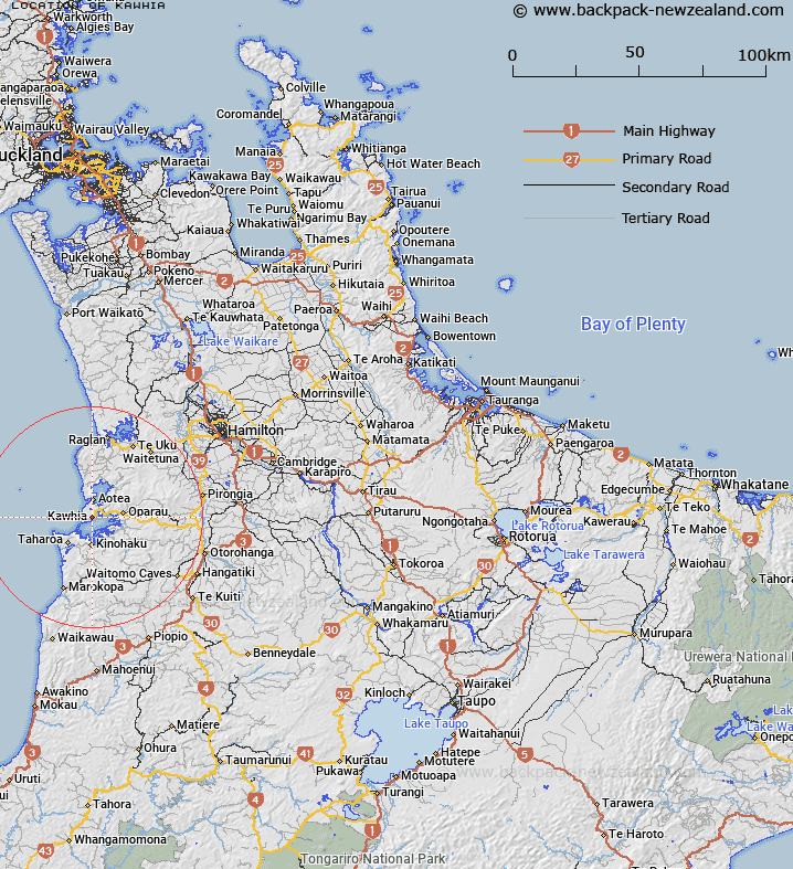
Map showing location of Kawhia


LINZ description: North side of the inlet of Kawhia Harbour south of Te Wharu Bay.
Latitude: -38.065995
Longitude: 174.819381
Northing: 5785300
Easting: 1759600
Land District: South Auckland
Feat Type: Town


Scroll down to see a more detailed road map and below that a topographical map showing the location of Kawhia. The road map has been supplied by openstreetmap and the topographical map of Kawhia has been supplied by Land Information New Zealand (LINZ).

Yes you can use the top static map for you school/university project or personal website with a link back. Contact me for any commercial use.

Kawhia Map New Zealand


New Zealand places in our database
[ A ] [ B ] [ C ] [ D ] [ E ] [ F ] [ G ] [ H ] [ I ] [ J ] [ K ] [ L ] [ M ] [ N ] [ O ] [ P ] [ Q ] [ R ] [ S ] [ T ] [ U ] [ V ] [ W ] [ X ] [ Y ] [ Z ]


Closest 20 Towns to Kawhia

Te Ahurei ( 1.47km )   Pakoka Landing ( 15.13km )   Lake Disappear ( 18.89km )   Wilson Clearing ( 25.6km )   2nd Staircase ( 42.13km )   Te Kuiti ( 42.55km )   Temple View ( 44.79km )   1st Staircase ( 45.44km )   Hamilton ( 50.87km )   Mangakino ( 90.01km )   Tokoroa ( 93.2km )   Stanley Landing ( 96.6km )   Taumarunui ( 98.41km )   Gordons Landing ( 98.61km )   Westheads Landing ( 99.72km )   Whakamaru Lookout ( 99.73km )   Pokaiora Clearing ( 99.8km )   Whakahau Clearing ( 102.5km )   Cochranes Gap ( 102.94km )   Hamiltons Gap ( 106.4km )   Kellys Landing ( 106.44km )   Waituhi Lookout ( 108.55km )   Otau Crossing ( 109.67km )   Dickeys Landing ( 110.25km )   Milnes Crossing ( 110.89km )   Horne Crossing ( 110.93km )   Swamp Crossing ( 111.1km )   Mangatawhiri Crossing ( 111.14km )   Acheson Crossing ( 111.17km )   Papakura ( 111.38km )   Papakura Military Camp ( 113.32km )   Mangatangi Fork ( 115.31km )   Manurewa ( 115.6km )   Wades Landing ( 118.19km )   The Jews Clearing ( 119.16km )   Thousand Acre Clearing ( 119.87km )   Parrys Lookout ( 119.93km )   Orange Peel Corner ( 120.91km )   Papatoetoe ( 121.05km )   Thames ( 121.13km )