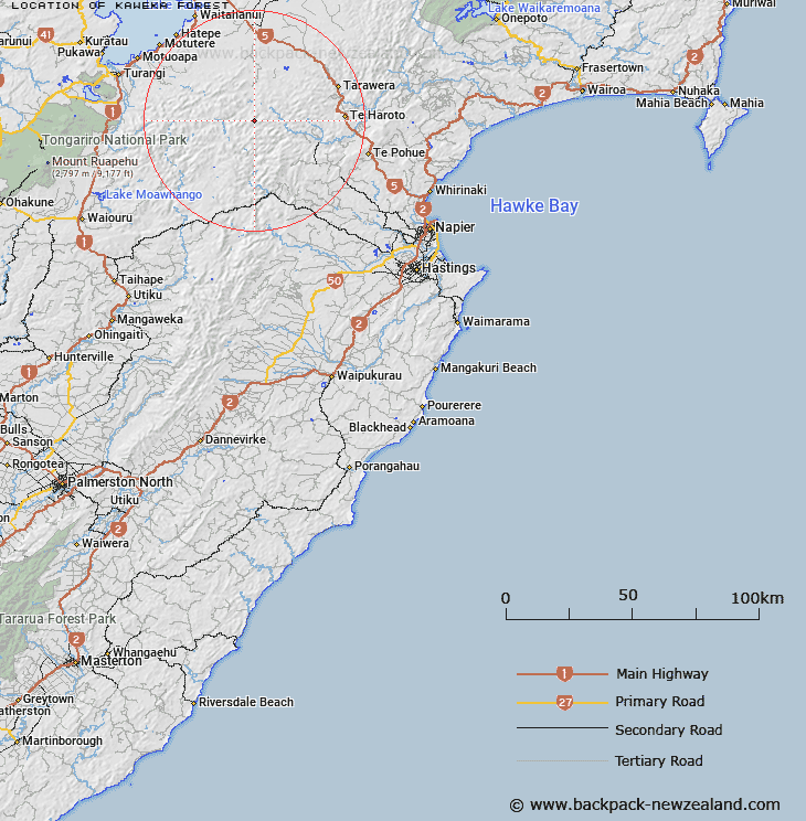
Map showing location of Kāweka Forest
LINZ description: Feature shown on: NZTopo50-BH37 837625, BJ37 859491, BJ38 011374
Latitude: -39.140235
Longitude: 176.282726
Northing: 5662527.5
Easting: 1883726.9
Land District: Hawke's Bay
Feat Type: Forest
Latitude: -39.140235
Longitude: 176.282726
Northing: 5662527.5
Easting: 1883726.9
Land District: Hawke's Bay
Feat Type: Forest

Scroll down to see a more detailed road map and below that a topographical map showing the location of Kāweka Forest. The road map has been supplied by openstreetmap and the topographical map of Kāweka Forest has been supplied by Land Information New Zealand (LINZ).
Yes you can use the top static map for you school/university project or personal website with a link back. Contact me for any commercial use.
[ A ] [ B ] [ C ] [ D ] [ E ] [ F ] [ G ] [ H ] [ I ] [ J ] [ K ] [ L ] [ M ] [ N ] [ O ] [ P ] [ Q ] [ R ] [ S ] [ T ] [ U ] [ V ] [ W ] [ X ] [ Y ] [ Z ]