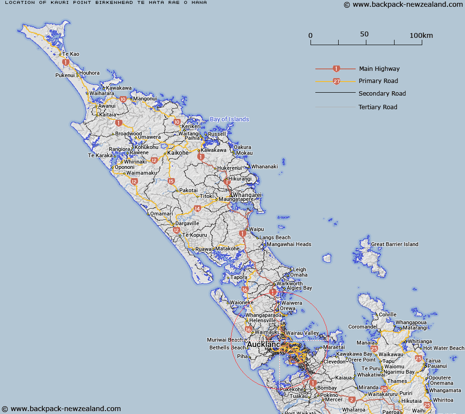
Map showing location of Kauri Point Birkenhead / Te Mātā-rae-o-Mana
LINZ description: A coastal point on the northern shores of Waitemata Harbour, at the southern end of Kendall Bay, Chatswood (suburb). NZTopo50-BA31 525231.
Latitude: -36.826037
Longitude: 174.709905
Northing: 5923061.5
Easting: 1752493
Land District: North Auckland
Feat Type: Point
Latitude: -36.826037
Longitude: 174.709905
Northing: 5923061.5
Easting: 1752493
Land District: North Auckland
Feat Type: Point

Scroll down to see a more detailed road map and below that a topographical map showing the location of Kauri Point Birkenhead / Te Mātā-rae-o-Mana. The road map has been supplied by openstreetmap and the topographical map of Kauri Point Birkenhead / Te Mātā-rae-o-Mana has been supplied by Land Information New Zealand (LINZ).
Yes you can use the top static map for you school/university project or personal website with a link back. Contact me for any commercial use.
[ A ] [ B ] [ C ] [ D ] [ E ] [ F ] [ G ] [ H ] [ I ] [ J ] [ K ] [ L ] [ M ] [ N ] [ O ] [ P ] [ Q ] [ R ] [ S ] [ T ] [ U ] [ V ] [ W ] [ X ] [ Y ] [ Z ]