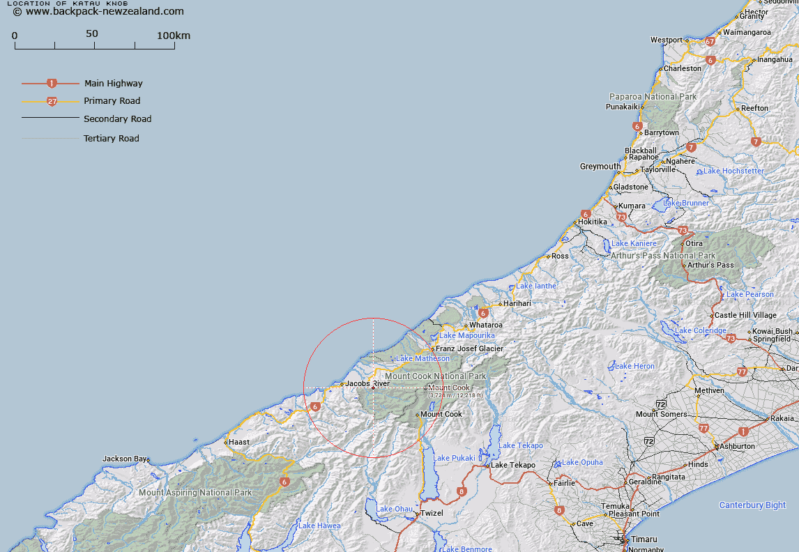
Map showing location of Katau Knob
LINZ description: In Westland National Park/Tai Poutini National Park, height 1211 m, at the south-west end of Copland Range. Topo50 map BX14 - Gillespies Beach, GR 462 687.
Latitude: -43.590805
Longitude: 169.85591
Northing: 5168769.9
Easting: 1346192.9
Land District: Westland
Feat Type: Hill
Latitude: -43.590805
Longitude: 169.85591
Northing: 5168769.9
Easting: 1346192.9
Land District: Westland
Feat Type: Hill

Scroll down to see a more detailed road map and below that a topographical map showing the location of Katau Knob. The road map has been supplied by openstreetmap and the topographical map of Katau Knob has been supplied by Land Information New Zealand (LINZ).
Yes you can use the top static map for you school/university project or personal website with a link back. Contact me for any commercial use.
[ A ] [ B ] [ C ] [ D ] [ E ] [ F ] [ G ] [ H ] [ I ] [ J ] [ K ] [ L ] [ M ] [ N ] [ O ] [ P ] [ Q ] [ R ] [ S ] [ T ] [ U ] [ V ] [ W ] [ X ] [ Y ] [ Z ]