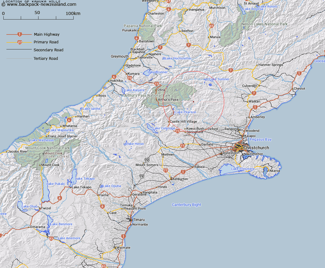
Map showing location of Kānuka Hills
LINZ description: A group of hills approximately 3.5 km long trending north-south bounded by Camp Stream to the north and Esk River to the south. Approximately 15 km northeast of Waimakariri River in the foothills of Southern Alps / Kā Tiritiri o te Moana. NZTopo50-BV22 207422 to 215394 (heights 1110m to 914m).
Latitude: -42.969694
Longitude: 172.031806
Northing: 5242095.9
Easting: 1521045
Land District: Canterbury
Feat Type: Hill
Latitude: -42.969694
Longitude: 172.031806
Northing: 5242095.9
Easting: 1521045
Land District: Canterbury
Feat Type: Hill

Scroll down to see a more detailed road map and below that a topographical map showing the location of Kānuka Hills. The road map has been supplied by openstreetmap and the topographical map of Kānuka Hills has been supplied by Land Information New Zealand (LINZ).
Yes you can use the top static map for you school/university project or personal website with a link back. Contact me for any commercial use.
[ A ] [ B ] [ C ] [ D ] [ E ] [ F ] [ G ] [ H ] [ I ] [ J ] [ K ] [ L ] [ M ] [ N ] [ O ] [ P ] [ Q ] [ R ] [ S ] [ T ] [ U ] [ V ] [ W ] [ X ] [ Y ] [ Z ]