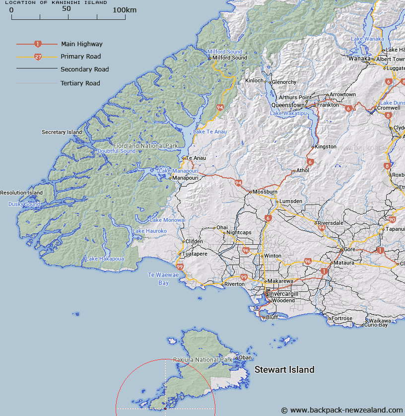
Map showing location of Kaninihi Island


LINZ description: Island near the western headland of Broad Bay, 500m North-east of Kaninihi Point, Stewart Island. South Cape Survey District
Latitude: -47.274538
Longitude: 167.577789
Northing: 4750052.4
Easting: 1189938.1
Land District: Southland
Feat Type: Island


Scroll down to see a more detailed road map and below that a topographical map showing the location of Kaninihi Island. The road map has been supplied by openstreetmap and the topographical map of Kaninihi Island has been supplied by Land Information New Zealand (LINZ).

Yes you can use the top static map for you school/university project or personal website with a link back. Contact me for any commercial use.

Kaninihi Island Map New Zealand


New Zealand places in our database
[ A ] [ B ] [ C ] [ D ] [ E ] [ F ] [ G ] [ H ] [ I ] [ J ] [ K ] [ L ] [ M ] [ N ] [ O ] [ P ] [ Q ] [ R ] [ S ] [ T ] [ U ] [ V ] [ W ] [ X ] [ Y ] [ Z ]


Closest 20 Islands to Kaninihi Island

Nelly Island ( 5.45km )   Murphy Island ( 6.16km )   Proclamation Islets ( 7.1km )   Ernest Island ( 7.39km )   Dryad Island ( 7.67km )   Hebe Island ( 7.77km )   Noble Island ( 9.33km )   Anchorage Island ( 10.5km )   Kuihi Island ( 11.3km )   Goose Island ( 11.3km )   Pukeweka Island ( 11.97km )   Pukuweka Island ( 11.97km )   Pukuparara ( 12.12km )   Solomon Island ( 12.33km )   Rerewhakaupoko Island (Solomon) ( 12.33km )   Kaimohu Island ( 12.38km )   Cow and Bull Islands ( 12.73km )   Bull and Cow Islands ( 12.73km )   The Sisters ( 12.81km )   Taukihepa/Big South Cape Island ( 12.97km )   Taukihepa Island ( 12.97km )   Long Island ( 12.97km )   Big South Cape Island ( 12.97km )   Jura Island ( 12.97km )   Chase Island ( 13.67km )   Pearl Island ( 13.67km )   Poutama Island ( 13.78km )   Evening Island ( 13.78km )   Rat Island ( 15.73km )   Timore ( 15.77km )   Chimneys Island ( 15.77km )   Timore Island (Chimneys) ( 15.77km )   Stage Island ( 15.78km )   Big Island ( 15.78km )   Rosa Island ( 15.8km )   Burnt Island ( 15.88km )   Hidden Island ( 15.96km )   Putahina Island ( 15.96km )   Putauhina Island ( 15.96km )   Muttonbird (Titi) Islands ( 16.21km )