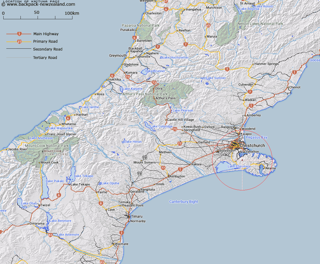
Map showing location of Kaituna Pass
LINZ description: The pass 0.4 of a kilometre north-east of the Remarkable Dykes, at the head of the Kaituna Valley. Lies about a mile south-west of Mount Herbert, and half a mile north-east by east of Castle Hill.
Latitude: -43.702151
Longitude: 172.691996
Northing: 5161161.7
Easting: 1575182.9
Land District: Canterbury
Feat Type: Pass
Latitude: -43.702151
Longitude: 172.691996
Northing: 5161161.7
Easting: 1575182.9
Land District: Canterbury
Feat Type: Pass

Scroll down to see a more detailed road map and below that a topographical map showing the location of Kaituna Pass. The road map has been supplied by openstreetmap and the topographical map of Kaituna Pass has been supplied by Land Information New Zealand (LINZ).
Yes you can use the top static map for you school/university project or personal website with a link back. Contact me for any commercial use.
[ A ] [ B ] [ C ] [ D ] [ E ] [ F ] [ G ] [ H ] [ I ] [ J ] [ K ] [ L ] [ M ] [ N ] [ O ] [ P ] [ Q ] [ R ] [ S ] [ T ] [ U ] [ V ] [ W ] [ X ] [ Y ] [ Z ]