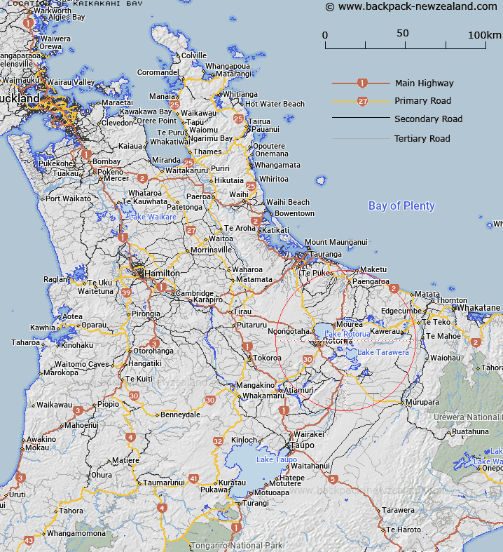
Map showing location of Kaikakahi Bay


LINZ description: Located on the western shore of Lake Ōkataina. NZMS260 U16 077360.
Latitude: -38.128352
Longitude: 176.393935
Northing: 5774500
Easting: 1897500
Land District: South Auckland
Feat Type: Bay


Scroll down to see a more detailed road map and below that a topographical map showing the location of Kaikakahi Bay. The road map has been supplied by openstreetmap and the topographical map of Kaikakahi Bay has been supplied by Land Information New Zealand (LINZ).

Yes you can use the top static map for you school/university project or personal website with a link back. Contact me for any commercial use.

Kaikakahi Bay Map New Zealand


New Zealand places in our database
[ A ] [ B ] [ C ] [ D ] [ E ] [ F ] [ G ] [ H ] [ I ] [ J ] [ K ] [ L ] [ M ] [ N ] [ O ] [ P ] [ Q ] [ R ] [ S ] [ T ] [ U ] [ V ] [ W ] [ X ] [ Y ] [ Z ]


Closest 20 Bays to Kaikakahi Bay

Paremata Bay ( 0.73km )   Parimata Bay ( 0.73km )   Waikereru Bay ( 2.21km )   Waikerer? Bay ( 2.21km )   Haumingi Bay ( 2.26km )   Log Pool ( 2.83km )   Tahunapo Bay ( 3.02km )   Tahunap? Bay ( 3.02km )   Kaiwaka Bay ( 3.03km )   ?ruaroa Bay ( 3.54km )   Ng?hau? Bay ( 3.8km )   Tauranganui Bay ( 3.93km )   Otangimoana Bay ( 4.1km )   ?tangimoana Bay ( 4.1km )   Te Karamea Bay ( 4.98km )   Waitangi Bay ( 5.74km )   R?huiroa Bay ( 6.21km )   Rahuiroa Bay ( 6.21km )   Rangiuru Bay ( 7.41km )   Te Matawera Bay ( 7.41km )   Ng?heret? Bay ( 7.45km )   Te K?ramuramu Bay ( 7.54km )   Hannahs Bay ( 8.04km )   Waikawau/Hannahs Bay ( 8.04km )   Te Ruato Bay ( 8.69km )   Kotukutuku Bay ( 8.74km )   K?tukutuku Bay ( 8.74km )   Holdens Bay ( 8.75km )   Waingaehe/Holdens Bay ( 8.75km )   Te P?hue Bay ( 8.84km )   Pohue Bay ( 8.84km )   Hauparu Bay ( 9.18km )   Ruak?p? Bay ( 9.25km )   Punawhakareia Bay ( 9.36km )   ?whatiura Bay ( 9.57km )   Wharetata Bay ( 9.58km )   Tapuaekura Bay ( 9.68km )   Hawaiki Bay ( 9.75km )   Wairau Bay ( 9.75km )   T?moana Bay ( 9.98km )