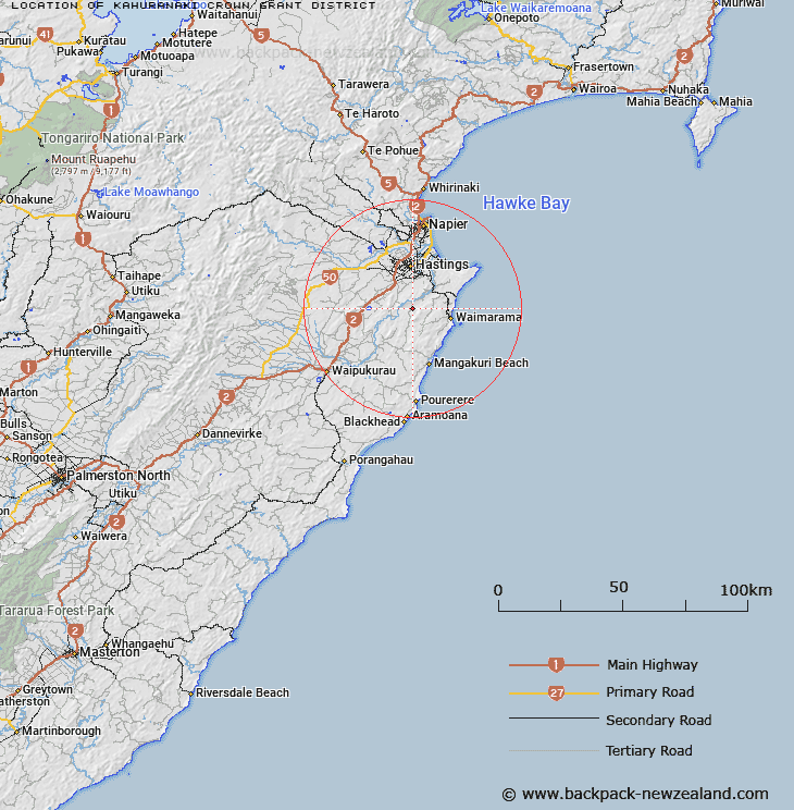
Map showing location of Kahuranaki Crown Grant District


LINZ description: Crown Grant registration district on the Right Bank of the Tukituki River, Blocks XI, XII, XV, and XVI Te Mata, and Blocks III and IV Oero Survey Districts.
Latitude: -39.784397
Longitude: 176.854141
Northing: 5589062.5
Easting: 1930066.1
Land District: Hawke's Bay
Feat Type: Appellation


Scroll down to see a more detailed road map and below that a topographical map showing the location of Kahuranaki Crown Grant District. The road map has been supplied by openstreetmap and the topographical map of Kahuranaki Crown Grant District has been supplied by Land Information New Zealand (LINZ).

Yes you can use the top static map for you school/university project or personal website with a link back. Contact me for any commercial use.

Kahuranaki Crown Grant District Map New Zealand


New Zealand places in our database
[ A ] [ B ] [ C ] [ D ] [ E ] [ F ] [ G ] [ H ] [ I ] [ J ] [ K ] [ L ] [ M ] [ N ] [ O ] [ P ] [ Q ] [ R ] [ S ] [ T ] [ U ] [ V ] [ W ] [ X ] [ Y ] [ Z ]


Closest 20 Appellations to Kahuranaki Crown Grant District

Paipaitahi ( 25.59km )   Paepaetahi ( 25.59km )   Hawke's Bay Land District ( 35.68km )   Maharakeke Settlement ( 43.94km )   Marakeke ( 43.94km )   Arapaoanoi Block ( 57.43km )   Aropaoanui Block ( 57.43km )   Waowaototara Block ( 71.2km )   Awa-o-totara Block ( 71.2km )   Poututu Rural Sections ( 89.87km )   Huramua Block ( 97.07km )   Hauruma Block ( 97.07km )   Terapatiki Maori Block ( 106.19km )   Tarapatiki Maori Block ( 106.19km )   Tuwatawata ( 113.15km )   Tuawatawata ( 113.15km )   Tuatawhata ( 113.15km )   Matakuhia Block ( 117.19km )   Matakuia Block ( 117.19km )   Weao ( 136.95km )   Wheao Survey District ( 136.95km )   Tarewauru Block ( 138.47km )   Tarewaeru ( 138.47km )   Tiro-o-Tane ( 139.28km )   Tiraotane Block ( 139.28km )   Te Kawau Survey District ( 140.25km )   Te Kauwau ( 140.25km )   Parewanui Maori Block ( 140.53km )   Poukokonga Block ( 151.89km )   Pokokonga ( 151.89km )   Te Hahaenga Block ( 151.9km )   Te Hahainga ( 151.9km )   Tokomaru Maori Block ( 155.12km )   Tokamaru Maori Block ( 155.12km )   Okurupeti ( 156.97km )   Okurupatu Block ( 156.97km )   Maungaraki Block ( 163.22km )   Maungarake Block ( 163.22km )   Eperaima Block ( 164.28km )   Eparaima Block ( 164.28km )