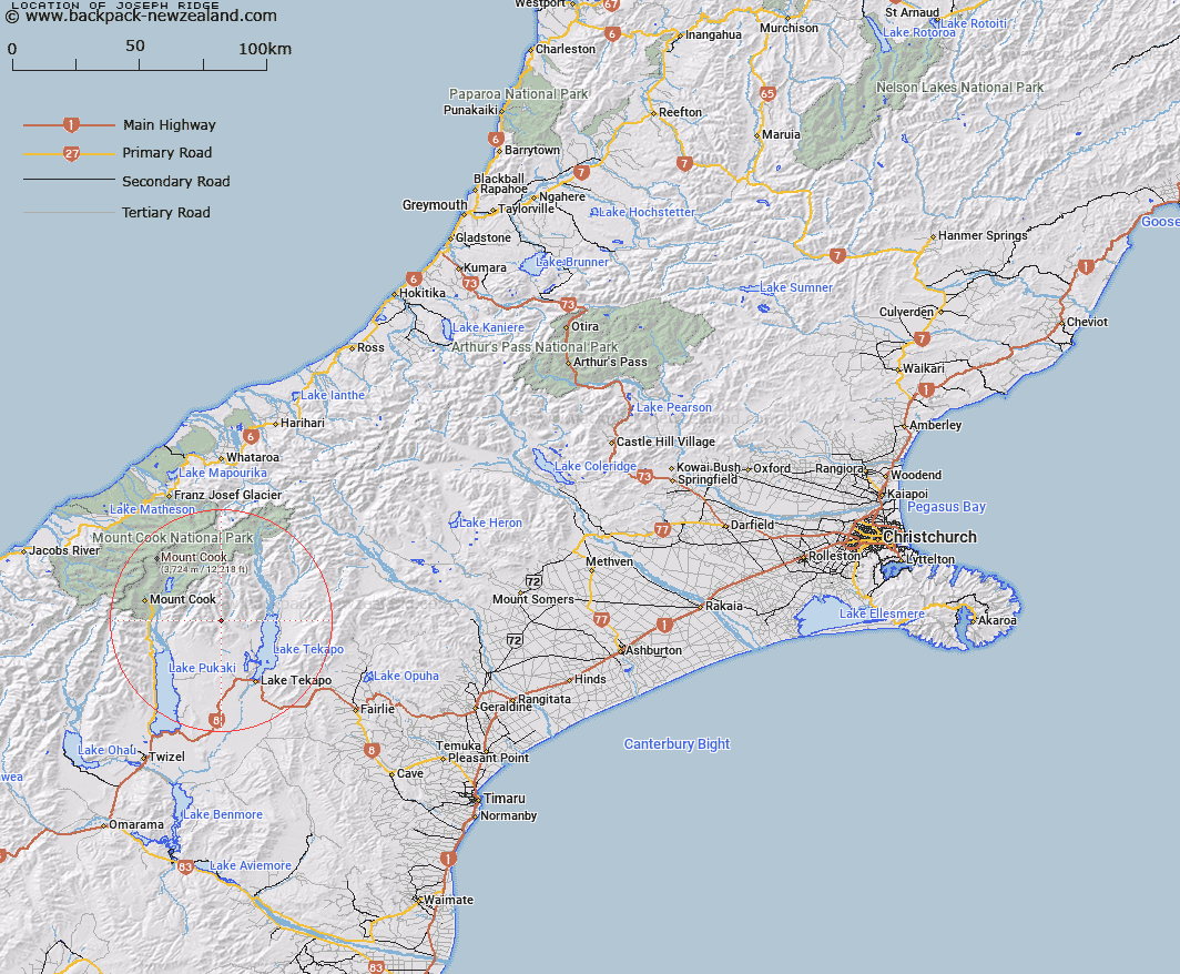
Map showing location of Joseph Ridge
LINZ description: The ridge between Fork Stream and the Cass River and leading from Mount Joseph at the southern extremity, in a generally north-westerly direction to the northern peak of The Needles in the Gamack Range. Blocks VIII, XIII, XIV, XVIII, XIX Cass and Blocks Iv and V Jollie Survey Districts.
Latitude: -43.801113
Longitude: 170.364658
Northing: 5146841
Easting: 1388006.1
Land District: Canterbury
Feat Type: Ridge
Latitude: -43.801113
Longitude: 170.364658
Northing: 5146841
Easting: 1388006.1
Land District: Canterbury
Feat Type: Ridge

Scroll down to see a more detailed road map and below that a topographical map showing the location of Joseph Ridge. The road map has been supplied by openstreetmap and the topographical map of Joseph Ridge has been supplied by Land Information New Zealand (LINZ).
Yes you can use the top static map for you school/university project or personal website with a link back. Contact me for any commercial use.
[ A ] [ B ] [ C ] [ D ] [ E ] [ F ] [ G ] [ H ] [ I ] [ J ] [ K ] [ L ] [ M ] [ N ] [ O ] [ P ] [ Q ] [ R ] [ S ] [ T ] [ U ] [ V ] [ W ] [ X ] [ Y ] [ Z ]