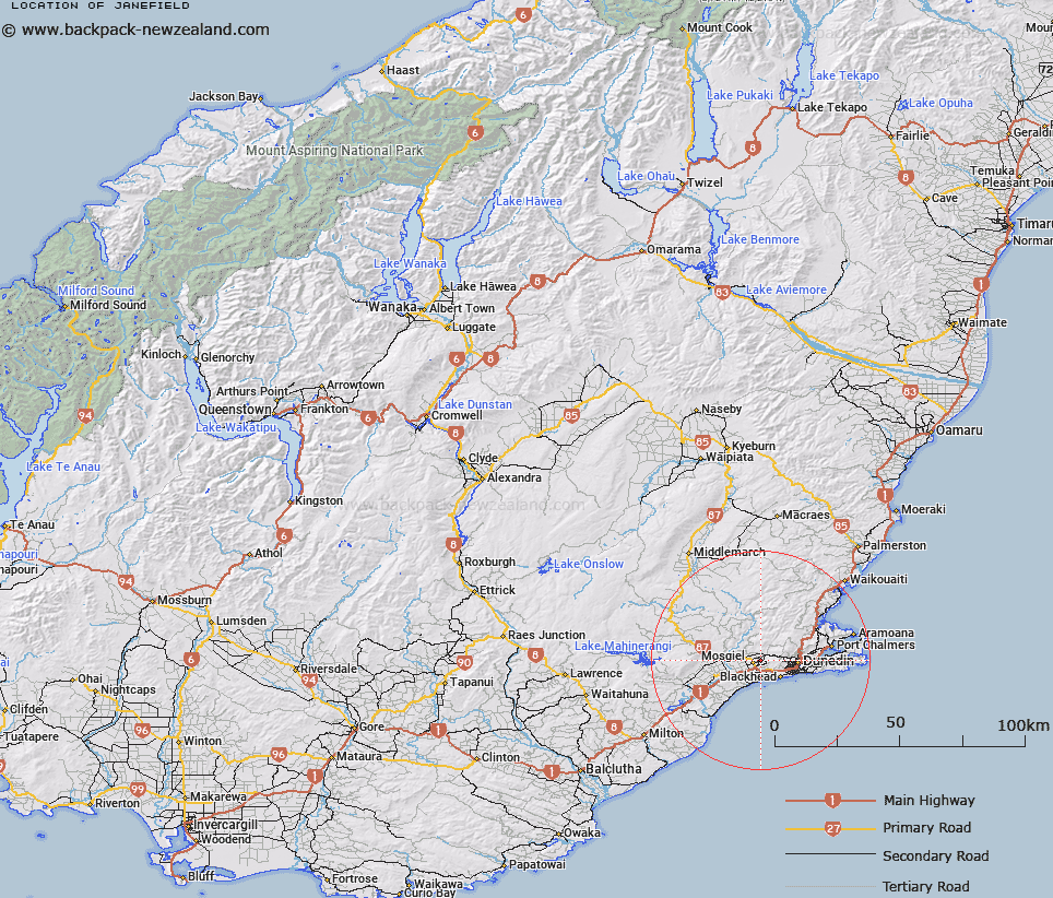
Map showing location of Janefield


LINZ description: Locality on outskirts of Mosgiel
Latitude: -45.868766
Longitude: 170.374069
Northing: 4917180
Easting: 1396190
Land District: Otago
Feat Type: Locality


Scroll down to see a more detailed road map and below that a topographical map showing the location of Janefield. The road map has been supplied by openstreetmap and the topographical map of Janefield has been supplied by Land Information New Zealand (LINZ).

Yes you can use the top static map for you school/university project or personal website with a link back. Contact me for any commercial use.

Janefield Map New Zealand


New Zealand places in our database
[ A ] [ B ] [ C ] [ D ] [ E ] [ F ] [ G ] [ H ] [ I ] [ J ] [ K ] [ L ] [ M ] [ N ] [ O ] [ P ] [ Q ] [ R ] [ S ] [ T ] [ U ] [ V ] [ W ] [ X ] [ Y ] [ Z ]


Closest 20 Localitys to Janefield

Wingatui ( 1.35km )   Chain Hills ( 2.64km )   Five Roads ( 2.71km )   Kinmont Park ( 3.06km )   Fairfield ( 3.54km )   Saddle Hill ( 3.66km )   North Taieri ( 4.2km )   East Taieri ( 4.33km )   Wyllies Crossing ( 4.95km )   Owhiro ( 5.8km )   Waldronville ( 6.43km )   Tara Hills ( 6.58km )   Westwood ( 7.04km )   Whare Flat ( 7.47km )   Glenross ( 7.52km )   Scroggs Hill ( 7.76km )   Blackhead ( 7.9km )   Forbury Corner ( 9.21km )   The Glen ( 9.29km )   Allanton ( 9.73km )   Brighton ( 9.8km )   The Exchange ( 9.84km )   Cargills Corner ( 9.99km )   Glenleith ( 10.06km )   Leith Valley ( 10.73km )   Outram ( 11.14km )   Gardens ( 11.36km )   Momona ( 12.94km )   The Cove ( 13.81km )   Harveys Flat ( 14.67km )   Woodside ( 15.14km )   Upper Junction ( 15.24km )   Burkes ( 15.36km )   Highcliff ( 15.4km )   Pigeon Flat ( 15.53km )   Otokia ( 16.63km )   Hindon ( 16.64km )   Maungatua ( 16.71km )   Upper Waitati ( 17.26km )   Macandrew's Bay ( 17.27km )