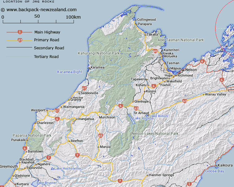
Map showing location of Jag Rocks


LINZ description: Rocks to the east of D'Urville and Rangitoto Islands.
Latitude: -40.77484
Longitude: 174.057025
Northing: 5485700
Easting: 1689200
Land District: Nelson
Feat Type: Rock


Scroll down to see a more detailed road map and below that a topographical map showing the location of Jag Rocks. The road map has been supplied by openstreetmap and the topographical map of Jag Rocks has been supplied by Land Information New Zealand (LINZ).

Yes you can use the top static map for you school/university project or personal website with a link back. Contact me for any commercial use.

Jag Rocks Map New Zealand


New Zealand places in our database
[ A ] [ B ] [ C ] [ D ] [ E ] [ F ] [ G ] [ H ] [ I ] [ J ] [ K ] [ L ] [ M ] [ N ] [ O ] [ P ] [ Q ] [ R ] [ S ] [ T ] [ U ] [ V ] [ W ] [ X ] [ Y ] [ Z ]


Closest 20 Rocks to Jag Rocks

Jag Rocks ( 0km )   Nga Kiore (Jag Rocks) ( 0km )   Hapuka Rocks ( 9.66km )   Tower Rocks ( 11.33km )   Flat Rocks ( 11.33km )   Rangiura Rocks ( 11.87km )   Rakiura Rocks ( 11.87km )   Hells Gate ( 12.54km )   Te Wakaapani ( 12.98km )   Nga Tamahineapani ( 13.2km )   Te Mokaiapani ( 13.2km )   The Sisters ( 13.22km )   Hapuka Rock ( 15.81km )   New Chums Rock ( 26km )   Grey Rock ( 27.12km )   Tawhi ( 29.17km )   Archway ( 29.29km )   Paddock Rocks ( 29.63km )   Rakariri ( 30.38km )   The Beef Barrels (Kahikatoa) ( 31.5km )   Tapuareroutuutu ( 31.81km )   Chicot Rock ( 31.81km )   Te Ope-a-Kupe Rock ( 33.96km )   Pakikauokiwi (Black Rock) ( 39.19km )   White Rocks ( 42.13km )   Lone Rock ( 47.01km )   Postmans Rock ( 53.28km )   Raukawa Rock ( 54.09km )   The Knobbys ( 59.85km )   Tomokoko Rock ( 64.55km )   Ngakuriahinepoupou ( 68.37km )   Te Korohiwa Rocks ( 72.87km )   Toka P?taka Rock ( 73.1km )   Tokaapapa Reef (Grandfather Rocks) ( 74.8km )   Toka-a-Papa Reef ( 74.8km )   The Pinnacle ( 84.2km )   Wharf Rock ( 84.22km )   Whale Rock ( 84.45km )   Cottage Loaf Rock ( 84.5km )   The Castle ( 85.02km )