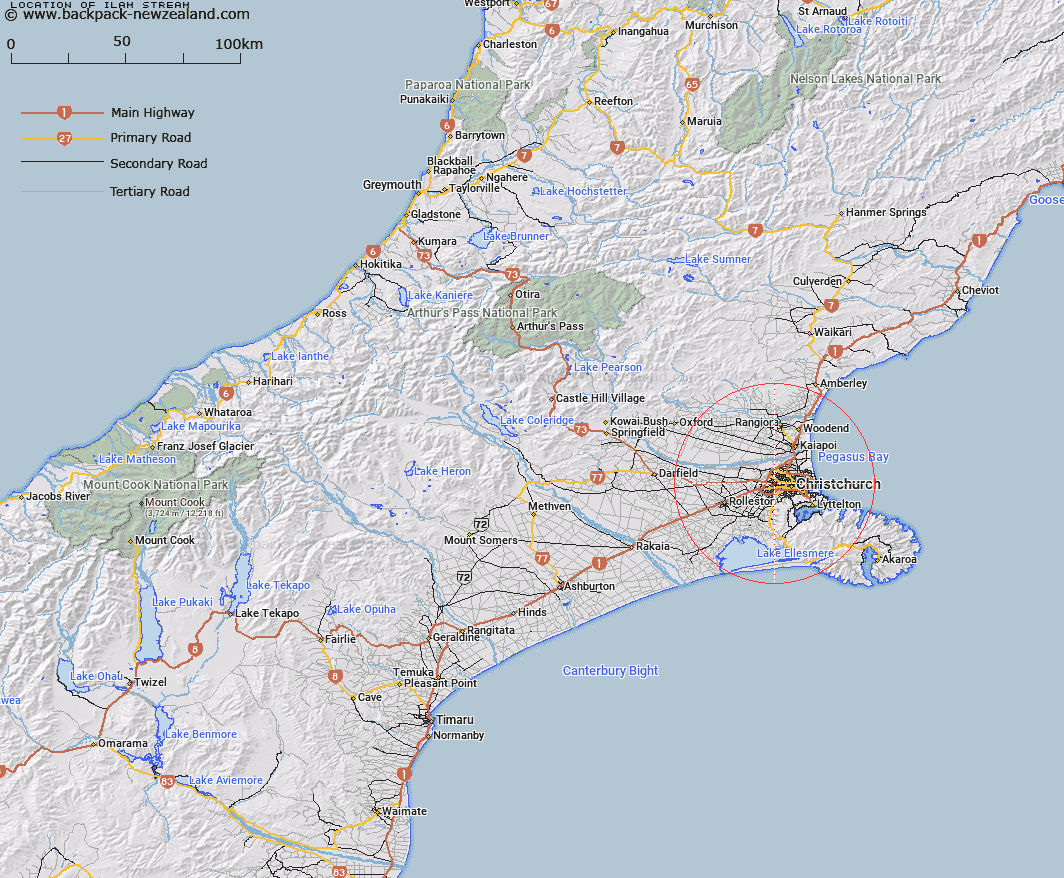
Map showing location of Ilam Stream


LINZ description: Tributary of Avon River from source in Crosbie Park West of Withells Road, flowing through the suburbs of Avonhead and Ilam, and joining the Avon River in the Canterbury University grounds, East of Waimairi Road, Christchurch City. Block X Christchurch Survey District.
Latitude: -43.522838
Longitude: 172.574007
Northing: 5181034.2
Easting: 1565573.9
Land District: Canterbury
Feat Type: Stream


Scroll down to see a more detailed road map and below that a topographical map showing the location of Ilam Stream. The road map has been supplied by openstreetmap and the topographical map of Ilam Stream has been supplied by Land Information New Zealand (LINZ).

Yes you can use the top static map for you school/university project or personal website with a link back. Contact me for any commercial use.

Ilam Stream Map New Zealand


New Zealand places in our database
[ A ] [ B ] [ C ] [ D ] [ E ] [ F ] [ G ] [ H ] [ I ] [ J ] [ K ] [ L ] [ M ] [ N ] [ O ] [ P ] [ Q ] [ R ] [ S ] [ T ] [ U ] [ V ] [ W ] [ X ] [ Y ] [ Z ]


Closest 20 Streams to Ilam Stream

Okeover Stream ( 0.32km )   Waimairi Stream ( 0.89km )   Wairarapa Stream ( 1.82km )   Wai-iti Stream ( 2.28km )   Heathcote River ( 4.66km )   Styx River ( 4.74km )   Nottingham Stream ( 5.62km )   Cashmere Stream ( 6.57km )   Dudley Creek ( 6.71km )   Shirley Stream ( 6.92km )   Knights Stream ( 7.74km )   Dawson Creek ( 9.29km )   Woolston Loop ( 9.38km )   Kaputone Creek ( 10.26km )   Otukaikino Creek ( 11.65km )   Kaiapoi River ( 12.36km )   North Branch Waimakariri River ( 12.36km )   Avon River ( 12.42km )   Avon River/?takaro ( 12.42km )   Estuary of the Heathcote and Avon Rivers ( 12.77km )   Estuary of the Heathcote and Avon Rivers/Ihutai ( 12.77km )   Eyre Main Drain ( 13.45km )   Eyre River Diversion ( 13.55km )   Old Bed Eyre River ( 14.19km )   Kaikainui Stream ( 14.77km )   L I Creek ( 15.13km )   Courtenay Stream ( 16.16km )   Springs Creek ( 16.41km )   Ohoka Stream ( 16.75km )   Kairaki Creek ( 18.26km )   Te Wharau Stream ( 18.68km )   Waiake Stream ( 19.3km )   Halswell River ( 20.74km )   Purau Stream ( 21.29km )   Cam River/Ruataniwha ( 21.55km )   Cam River ( 21.55km )   South Brook ( 22.1km )   L II River ( 22.96km )   North Brook ( 23.56km )   Hunters Stream ( 23.59km )