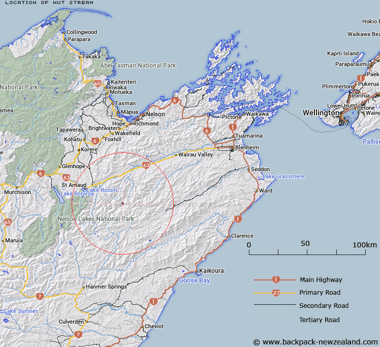
Map showing location of Hut Stream


LINZ description: Left bank tributary of the Leatham River rising 500m South of Trig. Leatham (Geodetic Code AAQY), flowing South-eastward, and joining Leatham River 300m upstream of Gordon Stream. Block III and IV, Molesworth Survey District.
Latitude: -41.913689
Longitude: 173.125699
Northing: 5359799.1
Easting: 1610424.1
Land District: Marlborough
Feat Type: Stream


Scroll down to see a more detailed road map and below that a topographical map showing the location of Hut Stream. The road map has been supplied by openstreetmap and the topographical map of Hut Stream has been supplied by Land Information New Zealand (LINZ).

Yes you can use the top static map for you school/university project or personal website with a link back. Contact me for any commercial use.

Hut Stream Map New Zealand


New Zealand places in our database
[ A ] [ B ] [ C ] [ D ] [ E ] [ F ] [ G ] [ H ] [ I ] [ J ] [ K ] [ L ] [ M ] [ N ] [ O ] [ P ] [ Q ] [ R ] [ S ] [ T ] [ U ] [ V ] [ W ] [ X ] [ Y ] [ Z ]


Closest 20 Streams to Hut Stream

Spaniard Stream ( 2.33km )   Flat Stream ( 3.17km )   Gordon Stream ( 3.42km )   Leatham River ( 3.64km )   Cat Stream ( 3.72km )   Hot Rock Stream ( 5.19km )   Hand Setting Stream ( 5.26km )   Waihopai Saddle Stream ( 5.43km )   Barber Stream ( 6.71km )   Wildsheep Stream ( 6.82km )   Branch River ( 7.01km )   Siberia Stream ( 7.13km )   Little Siberia Stream ( 7.37km )   Greig Stream ( 7.87km )   Bobs Stream ( 8.3km )   Weka Stream ( 8.33km )   Lost Stream ( 8.42km )   Misery Stream ( 8.49km )   Little Misery Stream ( 8.74km )   Scott Stream ( 8.8km )   Henry Stream ( 9.33km )   Oyster Stream ( 10.04km )   Cow Stream ( 10.07km )   Team Stream ( 10.99km )   Little Cave Stream ( 11.27km )   Silverstream ( 11.52km )   Alan Stream ( 12.59km )   Cave Stream ( 12.84km )   Orr Stream ( 13.44km )   Whip Stream ( 13.56km )   Waterfall Stream ( 14.05km )   Krushen Stream ( 14.85km )   May Stream ( 15.15km )   Goosey Stream ( 15.24km )   Hellfire Stream ( 15.4km )   Saxton River ( 15.61km )   Sandfly Stream ( 16.03km )   Nesbits Creek ( 16.41km )   Noisy Stream ( 16.7km )   Blue Mountain Stream ( 16.83km )