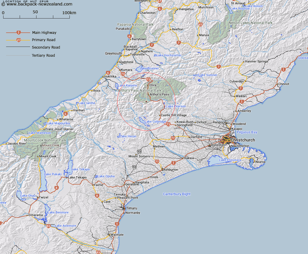
Map showing location of Hut Spur


LINZ description: Spur between Little Jordan Stream and Power Station approximately 4miles west of Bealey
Latitude: -43.034914
Longitude: 171.5408
Northing: 5234275
Easting: 1481129.5
Land District: Canterbury
Feat Type: Ridge


Scroll down to see a more detailed road map and below that a topographical map showing the location of Hut Spur. The road map has been supplied by openstreetmap and the topographical map of Hut Spur has been supplied by Land Information New Zealand (LINZ).

Yes you can use the top static map for you school/university project or personal website with a link back. Contact me for any commercial use.

Hut Spur Map New Zealand


New Zealand places in our database
[ A ] [ B ] [ C ] [ D ] [ E ] [ F ] [ G ] [ H ] [ I ] [ J ] [ K ] [ L ] [ M ] [ N ] [ O ] [ P ] [ Q ] [ R ] [ S ] [ T ] [ U ] [ V ] [ W ] [ X ] [ Y ] [ Z ]


Closest 20 Ridges to Hut Spur

Hut Spur ( 0km )   Little Jordan Spur ( 1.52km )   Blind Spur ( 1.6km )   Junction Spur ( 3.19km )   Camp Spur ( 11.22km )   Jellicoe Ridge ( 11.42km )   Rome Ridge ( 12.58km )   Goldney Ridge ( 14.13km )   The Spurs ( 14.17km )   Rosamond Ridge ( 16.62km )   Hunts Ridge ( 19.38km )   Marshall Ridge ( 19.84km )   Marshal Ridge ( 19.84km )   Reeses Ridge ( 19.84km )   Cabot Ridge ( 19.88km )   Barron Ridge ( 19.93km )   Coal Pit Spur ( 20.27km )   Donovan Ridge ( 21.02km )   Long Spur ( 21.23km )   Blackball Ridge ( 22.95km )   Eliott Ridge ( 23.55km )   Eliot Ridge ( 23.55km )   Dead Man Spur ( 23.96km )   Whitehorn Ridge ( 27.59km )   Commodore Ridge ( 28.61km )   Razorback Ridge ( 28.98km )   Brunswick Ridge ( 29.18km )   Homeward Ridge ( 31.69km )   Lansdowne Spur ( 32.02km )   Adventure Ridge ( 32.04km )   Meharry Spur ( 32.24km )   Hinau Spur ( 32.55km )   Foggy Peak Ridge ( 32.65km )   Treachery Ridge ( 32.67km )   Yeats Ridge ( 32.75km )   Petrologist Ridge ( 33.28km )   Hamilton Ridge ( 33.94km )   Prominent Spur ( 34.41km )   Conway Ridge ( 34.57km )   Henry Ridge ( 34.63km )