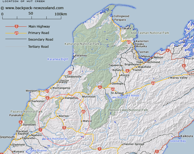
Map showing location of Hut Creek


LINZ description: Tributary of McCnnochie Creek, joining it 500m from the Inangahua River. Waitahu Survey District.
Latitude: -42.170336
Longitude: 171.959228
Northing: 5330787.1
Easting: 1514035.5
Land District: Nelson
Feat Type: Stream


Scroll down to see a more detailed road map and below that a topographical map showing the location of Hut Creek. The road map has been supplied by openstreetmap and the topographical map of Hut Creek has been supplied by Land Information New Zealand (LINZ).

Yes you can use the top static map for you school/university project or personal website with a link back. Contact me for any commercial use.

Hut Creek Map New Zealand


New Zealand places in our database
[ A ] [ B ] [ C ] [ D ] [ E ] [ F ] [ G ] [ H ] [ I ] [ J ] [ K ] [ L ] [ M ] [ N ] [ O ] [ P ] [ Q ] [ R ] [ S ] [ T ] [ U ] [ V ] [ W ] [ X ] [ Y ] [ Z ]


Closest 20 Streams to Hut Creek

Joan Creek ( 0.9km )   Webby Creek ( 1.2km )   Spiderweb Creek ( 1.22km )   Wellman Creek ( 1.32km )   Moss Creek ( 1.39km )   Garvey Creek ( 1.52km )   Coffee Creek ( 1.66km )   Morris Creek ( 2.22km )   McConnochie Creek ( 2.24km )   Deny Creek ( 2.39km )   Talus Creek ( 2.51km )   Rim Creek ( 3.02km )   Rainy Creek ( 3.21km )   Scotchman Creek ( 3.23km )   Progress Water Race ( 3.67km )   Morrison Creek ( 3.84km )   Mount Albert Creek ( 3.86km )   Aulem Creek ( 3.91km )   Yorkey Creek ( 4.29km )   Healey Creek ( 4.48km )   Stony Creek ( 4.87km )   Rough or Tobin Stream ( 4.99km )   Lost Creek ( 5.02km )   Union Creek North ( 5.33km )   Lankey Creek ( 5.38km )   Willis Creek ( 5.5km )   Union Creek South ( 5.86km )   Station Creek ( 5.87km )   Deep Creek ( 6.15km )   Dorothy Creek ( 6.18km )   Fossicker Creek ( 6.27km )   Shaw Stream ( 6.36km )   Oriental Creek ( 6.48km )   Cumberland Creek ( 6.66km )   Murray Creek ( 6.67km )   OK Creek ( 7.15km )   A1 Creek ( 7.36km )   Auld Creek ( 7.61km )   Golden Lead Creek ( 7.64km )   Ajax Creek ( 8.01km )