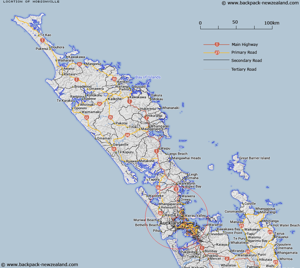
Map showing location of Hobsonville
LINZ description: Located on the northern shores of Waitemata Harbour, Auckland. Bounded north-west by State Highway 18, south by Clark Road, and east by the shoreline following Boundary Road and Hudson Bay Road. Includes existing residential housing and extends to include the former RNZAF Hobsonville Airfield. To be used for residential housing, apartments, retail and commercial space, schools, open space and reserves, and marine industry precincts. NZTopo50 BA31-Waitemata Harbour, GR 482 269.
Latitude: -36.79203
Longitude: 174.662566
Northing: 5926908.8
Easting: 1748336.4
Land District: North Auckland
Feat Type: Locality
Latitude: -36.79203
Longitude: 174.662566
Northing: 5926908.8
Easting: 1748336.4
Land District: North Auckland
Feat Type: Locality

Scroll down to see a more detailed road map and below that a topographical map showing the location of Hobsonville. The road map has been supplied by openstreetmap and the topographical map of Hobsonville has been supplied by Land Information New Zealand (LINZ).
Yes you can use the top static map for you school/university project or personal website with a link back. Contact me for any commercial use.
[ A ] [ B ] [ C ] [ D ] [ E ] [ F ] [ G ] [ H ] [ I ] [ J ] [ K ] [ L ] [ M ] [ N ] [ O ] [ P ] [ Q ] [ R ] [ S ] [ T ] [ U ] [ V ] [ W ] [ X ] [ Y ] [ Z ]