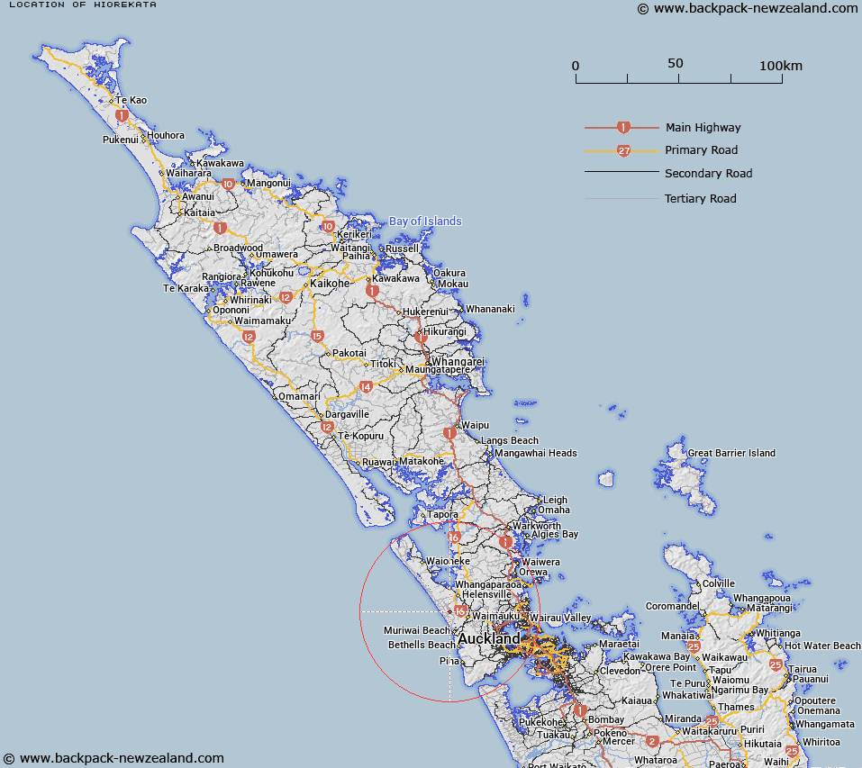
Map showing location of Hiorekata


LINZ description: An historic site approximately 2 km west of Woodhill. NZTopo50 BA30, GR 266 327.
Latitude: -36.742435
Longitude: 174.417942
Northing: 5932762.4
Easting: 1726590.9
Land District: North Auckland
Feat Type: Site


Scroll down to see a more detailed road map and below that a topographical map showing the location of Hiorekata. The road map has been supplied by openstreetmap and the topographical map of Hiorekata has been supplied by Land Information New Zealand (LINZ).

Yes you can use the top static map for you school/university project or personal website with a link back. Contact me for any commercial use.

Hiorekata Map New Zealand


New Zealand places in our database
[ A ] [ B ] [ C ] [ D ] [ E ] [ F ] [ G ] [ H ] [ I ] [ J ] [ K ] [ L ] [ M ] [ N ] [ O ] [ P ] [ Q ] [ R ] [ S ] [ T ] [ U ] [ V ] [ W ] [ X ] [ Y ] [ Z ]


Closest 20 Sites to Hiorekata

Tauwhare ( 3.44km )   Kahukur? ( 6.14km )   Kaikai P? ( 10.89km )   Te Rite-a-Kawharu P? ( 20.52km )   Parkinsons Lookout ( 24.35km )   Ihawhanui Pa ( 32.4km )   Muriwai Pa ( 32.69km )   Spragg Monument ( 33.03km )   McLachlan Memorial ( 34.56km )   Ewelme Cottage ( 35.22km )   Savage Memorial ( 38.12km )   Holder Lookout ( 43.45km )   Taurangaokahu ( 46.58km )   Tawhiri Pa ( 47.89km )   Rangiriri Pa ( 48.64km )   Pouto Marae ( 48.8km )   Mansion House ( 49.81km )   Whatapaka Marae ( 51.66km )   Mahipatua Pa ( 56.22km )   Rangitane Pa ( 58.51km )   Mission Bush ( 59.04km )   Tahuna Marae ( 60.04km )   Puke Kiwiriki Pa ( 61.82km )   Ng?roto ( 64.85km )   Te Ika a Ranganui ( 65.48km )   Coates Memorial ( 71.96km )   Nga Tau E Rua Marae ( 74.51km )   Te Awamarahi Marae ( 74.74km )   Koheroa Redoubt ( 80.84km )   Parihakoakoa Pa ( 81.79km )   Tui Pa ( 83.66km )   Whangamarino Redoubt ( 83.72km )   Te Hue Pa ( 83.81km )   Repia Marae ( 84.62km )   Meremere Redoubt ( 86.35km )   Kaiaua Marae ( 86.73km )   Whatarua Pa ( 88.86km )   Esk Redoubt ( 90.2km )   Urarima Pa ( 90.21km )   Moran Lookout ( 90.9km )